






What is a 'Fire Cloud'?
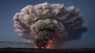
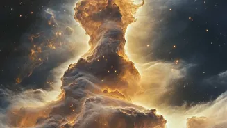
Imagine a wildfire so powerful that its column of smoke and heat transforms into a full-blown thunderstorm. That is a pyrocumulonimbus (pyroCb), a phenomenon nicknamed the “fire-breathing dragon of clouds” by NASA. These are not ordinary storm clouds;
they are born directly from the intense energy of a massive blaze on the ground. The recent fires in France’s Gironde region have produced what officials say is the first-ever recorded pyroCb in the country, a startling development in a record-breaking wildfire season. While more common in the vast wild lands of North America and Australia, their appearance in Europe is a rare and deeply concerning event.
How a Fire Creates a Storm
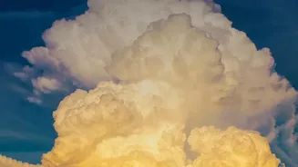
The process begins with the immense heat from a major wildfire. This heat forces a huge column of hot air, smoke, ash, and water vapor to surge violently upwards into the atmosphere. As this plume rises into colder, lower-pressure altitudes, it expands and cools, causing the water vapor within it to condense around ash particles. This condensation releases more heat, making the column even more buoyant and pushing it higher, sometimes reaching the stratosphere, miles above the Earth's surface. This rapid, turbulent ascent creates a towering, anvil-shaped thunderhead, transforming the smoke plume into a self-sustaining storm cell.
Forging Lightning From Flames
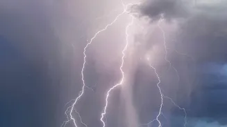
Inside this chaotic, newly formed cloud, conditions are perfect for generating lightning. Turbulent updrafts cause ice crystals and supercooled water droplets to collide, stripping electrons and creating a massive separation of electrical charge. The top of the cloud becomes positively charged while the bottom becomes negative. Eventually, the atmosphere can no longer contain this electrical potential, and it discharges in a flash of lightning. Crucially, this is often “dry lightning,” occurring with little to no accompanying rain reaching the ground. This makes it an exceptionally dangerous fire-starter, capable of igniting new blazes far from the original fire front.
A Vicious and Erratic Cycle
The danger of a pyrocumulonimbus is not just the lightning. The storm system creates its own violent and erratic winds, including powerful downdrafts that can rapidly change a fire’s direction and speed, making it dangerously unpredictable for firefighters on the ground. It represents a vicious feedback loop: the fire creates a storm, and the storm then worsens the fire. The lightning it produces can spark new fires in dry forests and scrubland, as has been observed in the Gironde fire, which erupted near Saumos on July 22. These new fires can then grow and potentially merge with the main blaze, dramatically escalating the crisis.
The Situation in France
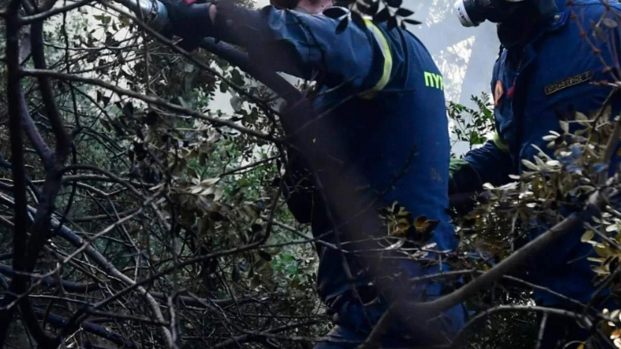
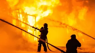
France is currently battling one of its most severe wildfire seasons on record, with tens of thousands of hectares burned across the country. The Gironde fire alone has forced the evacuation of over 220,000 people and destroyed hundreds of homes. It was during this blaze that French authorities confirmed the formation of a pyroCb, which has appeared and dissipated several times depending on atmospheric conditions. This unprecedented event for France highlights the extreme nature of the current fires, fueled by record heatwaves and drought that have left the landscape critically dry.