








The Unseen Event
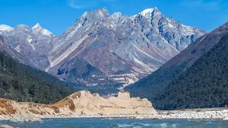
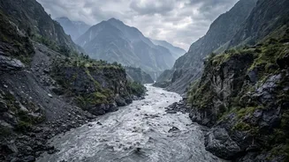
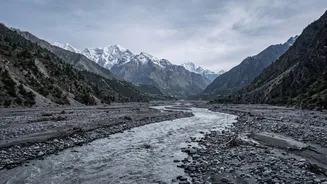
On August 26, 2026, a devastating flash flood surged down the Bhote Koshi river system in Nepal, near the border with Tibet. With little to no recent rainfall, authorities were initially baffled. The torrent of water, mud, and debris inundated communities,
swept away infrastructure, and resulted in a tragic loss of life, with hundreds reported dead or missing. The disaster's origin was clearly far upstream in a rugged, unmonitored region, but what had happened? The first clue came from an unexpected source: the global network of sensors designed to detect earthquakes.
A Tremor, But Not an Earthquake
Seismometers around the world picked up a significant tremor from the region, initially logged by agencies like the U.S. Geological Survey (USGS) as a magnitude 4.4 earthquake. However, as scientists analysed the data more closely, they noticed something was off. The seismic waves didn't look right for a tectonic shift. Instead of the sharp, high-frequency jolt of an earthquake, the signal showed a much longer, slower rumble. This distinct signature pointed not to the Earth's plates shifting, but to a massive amount of material moving across its surface.
Decoding the Earth's Rumble
This is where the detective work began. Seismologists have learned that different events create unique acoustic fingerprints. The quick, violent rupture of an earthquake is distinct from the sustained, grinding roar of a massive landslide, which is in turn different from a volcanic explosion. By analysing these 'long-period' seismic waves, scientists can do more than just identify a landslide; they can estimate its size, force, and track its movement. The USGS quickly reclassified the event, concluding that the signal was not an earthquake at all, but a colossal landslide. The force of the collapse was so immense that it generated energy equivalent to a magnitude 5.2 earthquake.
Pinpointing the Hidden Disaster
Guided by the seismic data, researchers knew where to look. They focused satellite imagery on the suspected location: a high-altitude, glaciated cliff on the north side of Lāngtāng Lirung, one of the world's tallest mountains. The images confirmed their analysis. A huge section of a glacier, along with rock and ice, had broken away from an altitude of about 5,200 meters and crashed down into the valley below. This colossal avalanche of debris is what triggered the downstream flash flood, creating a disaster that traveled nearly 100 kilometers. The seismic signal had successfully located and identified a disaster that was otherwise completely hidden from view.
A Blueprint for Future Safety
This event, while tragic, serves as a powerful proof-of-concept for a new kind of early-warning system. In the vast and volatile Himalayan region, many areas are too remote for conventional monitoring. Glaciers are melting at an accelerated rate due to climate change, destabilising mountain slopes and increasing the risk of such collapses, which can trigger Glacial Lake Outburst Floods (GLOFs) and debris flows. Using seismic networks to detect these landslides in near real-time offers a vital opportunity. While it may not provide much warning for those closest to the collapse, the minutes or hours of notice it could give to downstream communities—including many in India that share Himalayan river basins—could be the difference between life and death.