



The Challenge: Navigating in the Dark
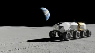
Imagine trying to find your way in a vast, unknown territory with no map, no compass, and your only guide is a voice on a radio from 385,000 kilometres away. This has been the reality of lunar navigation. For every rover and astronaut, positioning has depended
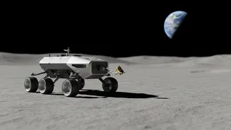
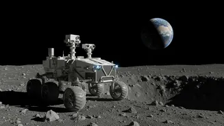
on a direct line of sight to Earth, using signals from our planet to triangulate their location. This method is slow, requires immense ground support, and has a glaring weakness: it doesn't work if you can't see the Earth. This limitation makes exploring the Moon's far side or the permanently shadowed craters at the South Pole—areas rich with scientific potential—incredibly difficult and risky. Without constant contact, a rover could get lost or be unable to navigate hazardous terrain, effectively tethering exploration to only the Moon’s near side.
The Solution: A GPS for the Moon
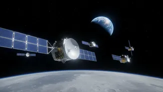
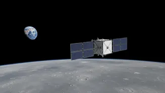
To solve this, NASA is building a lunar navigation and communication architecture called LunaNet. A key part of this ambitious plan involves deploying small, independent navigation payloads. One recent example is the NavCube3-mini, a compact receiver delivered to commercial partner Intuitive Machines in July 2026. This 1.6-kg box is designed to do something remarkable: pick up the faint, stray signals from Earth's existing GPS and Galileo satellites. By being able to use these signals so far from their intended operational area, a satellite in lunar orbit can determine its own position autonomously, without needing constant instructions from Earth. This is the first step towards creating an independent navigation service for missions on and around the Moon.
How It Works: Beacons and Relays
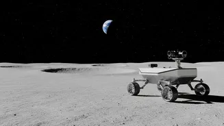
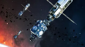
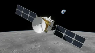
The system works in a few ways. First, payloads like the NavCube3-mini will be installed on lunar relay satellites, such as Intuitive Machines' Altus-1. These satellites will orbit the Moon, using the faint Earth GPS signals to know their own precise location. They can then act as a navigation beacon for assets on the surface. A rover in a crater on the far side, unable to see Earth, could instead communicate with the relay satellite overhead to get its coordinates. Another part of the strategy involves stationary beacons, like the Lunar Node-1 (LN-1) experiment, which is a lander-based payload. Once on the surface, it provides a fixed reference point, broadcasting a signal that other assets can use for precise navigation, much like a lighthouse.
Unlocking the Entire Moon
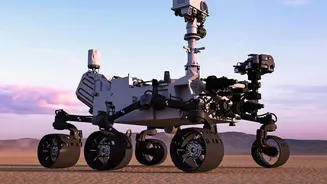
The ability to navigate without direct Earth contact is a game-changer. It means rovers can finally venture into the most scientifically compelling and previously inaccessible parts of the Moon. This includes the South Pole-Aitken basin, a massive, ancient crater on the far side that holds clues to the Moon's history, and the permanently shadowed craters believed to contain water ice. For missions like the upcoming Lunar-VISE rover, which will investigate the mysterious Gruithuisen Domes, autonomous navigation is critical for conducting its 10-day scientific traverse. This technology gives rovers the autonomy to make on-the-spot navigation decisions, increasing the efficiency and safety of missions without relying on the time-delayed supervision of human controllers on Earth.
The Bigger Picture: Building Lunar Infrastructure
These navigation payloads are more than just a clever solution for a single rover; they are foundational elements of a sustained human and robotic presence on the Moon. The LunaNet concept envisions an interoperable network of satellites and surface assets, providing communication and navigation services for all—not just NASA, but international partners and commercial companies too. By creating an internet-like and GPS-like service for the Moon, NASA is laying the groundwork for a future lunar economy. This infrastructure will support everything from resource mining and construction to astronaut safety and scientific research, transforming the Moon from a place we visit into a place where we can live and work.