







An Unstable Dam in the Mountains
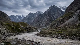
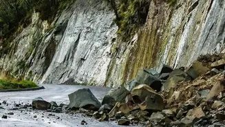
The immediate threat stems from what is known as a barrier lake. Following a colossal glacier collapse and landslide around August 26, a massive wall of rock and debris blocked the flow of rivers originating in Tibet. This natural dam has caused water
to accumulate at an alarming rate, forming a large, unstable lake near the confluence of the Chhochen Khola and Purepu Tsangpo rivers. These rivers are the source of the Bhotekoshi River in Nepal, a major waterway. Chinese authorities initially estimated the lake held two million cubic meters of water and was already overflowing, warning that millions more were expected to flow in, creating a high risk of a breach. Unlike engineered dams, these natural blockages are composed of loose material and can fail suddenly and catastrophically.
High Alert in Downstream Nepal
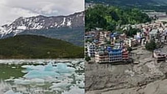
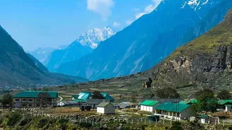
The warning has put communities and rescue workers in Nepal on high alert. The areas most at risk lie downstream along the Bhotekoshi and Trishuli river systems, which wind through Nepal’s northern districts. The initial flood had already caused widespread destruction in areas like Timure and Syaphrubesi in the Rasuwa district, sweeping away homes, bridges, and roads. In response to the new threat, Nepal's disaster management authorities have issued alerts, urging residents in low-lying areas to move to safety and for rescue teams to exercise extreme caution. The situation remains tense, with residents receiving constant alerts on their phones as authorities monitor the river levels, which are also being swollen by persistent monsoon rains.
A Race for Information Across Borders
This crisis has underscored the critical importance of cross-border communication. Chinese authorities have been using drones and satellite imagery to monitor the lake's water levels and stability in real-time. They have shared this vital data with their Nepalese counterparts, allowing for more timely warnings downstream. According to reports, Chinese experts are also running flood simulations to predict the potential impact of a breach, aiming to guide emergency operations in both countries. While the immediate threat from the first lake was later deemed to be draining in a more controlled manner, the situation remains volatile, with subsequent smaller landslides and other unstable water bodies identified in the disaster zone.
A Familiar Himalayan Danger
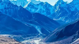
This is not the first time the region has faced such a peril. The Himalayas are a young and geologically active mountain range, prone to landslides. However, climate change is believed to be a significant aggravating factor. Scientists have warned that rising global temperatures are causing glaciers to melt and retreat at an accelerated pace. This can destabilise entire mountain slopes, leading to more frequent and intense events like the one that triggered this disaster. The formation of glacial lakes and subsequent outburst floods, known as GLOFs, are a well-documented hazard in the Hindu Kush Himalaya region. This event serves as a stark reminder of the cascading hazards that can follow a single trigger event in this fragile ecosystem.