






What Exactly Is El Niño?
At its heart, El Niño is a story of warm water. It's the warm phase of a larger phenomenon called the El Niño-Southern Oscillation (ENSO). Normally, strong trade winds blow from east to west across the tropical Pacific, pushing warm surface water towards
Asia and Australia. This allows cooler water to rise up from the depths near South America. During an El Niño, these trade winds weaken. The warm water that is usually pushed westwards sloshes back towards the central and eastern Pacific. This change in ocean temperature, sometimes by several degrees, is significant enough to alter atmospheric circulation and jet streams, impacting weather patterns across the globe. El Niño events are not rare, typically occurring every two to seven years and lasting for about 9-12 months.
India's Typical El Niño Experience
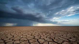
For India, El Niño is often bad news for the southwest monsoon, which is the lifeblood of the country's agriculture-driven economy. A strong El Niño is historically linked to suppressed monsoon rainfall and a higher probability of drought. The warm Pacific waters shift rainfall patterns, often leading to drier-than-normal conditions over the Indian subcontinent. This can result in lower crop yields, depleted water reservoirs, and increased stress on the rural economy. However, there's usually a lag. The effects are not instantaneous; it often takes several months for the atmospheric changes over the Pacific to fully manifest in India's weather. This lag sometimes provides a buffer, especially if the El Niño develops later in the year.
The 2026 Anomaly: A Rapid and Strong Event
The developing El Niño of 2026 is causing scientists to sit up and take notice due to its speed and projected intensity. Both the World Meteorological Organization (WMO) and the US National Oceanic and Atmospheric Administration (NOAA) have issued advisories indicating a rapid strengthening of El Niño conditions. Forecasts for the August to October period show a high probability of a 'strong' event developing, with sea surface temperature anomalies potentially exceeding 2.9°C above average. Some models suggest an 81% chance of it becoming a 'very strong' event by the end of the year. The key difference this year is the rapid intensification. El Niño conditions went from weak in June to moderate in July and are expected to intensify further, bypassing the usual slow build-up. This rapid warming could accelerate the transmission of its effects globally.
What's at Stake for India?
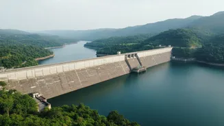
A faster, stronger El Niño poses a more immediate threat. The India Meteorological Department (IMD) has already forecast 'below-normal' rainfall for August and for the second half of the monsoon season. This could directly impact the sowing and growth of crucial kharif (summer) crops. Beyond the farm, the consequences are widespread. Lower rainfall means less water to replenish reservoirs, which affects drinking water supply for cities and hydroelectric power generation. Furthermore, El Niño years are often associated with warmer-than-average temperatures, which could exacerbate heatwaves and increase energy demand for cooling. Compounding the issue is a forecast for a positive Indian Ocean Dipole (IOD), another climate driver that can influence India's monsoon, though its full effect remains to be seen.
Watching and Waiting
While the forecasts are concerning, they are not destiny. The Ministry of Earth Sciences has noted that the exact impact on India depends on the complex interplay of multiple ocean-atmosphere factors, with El Niño being just one. Not every El Niño leads to a severe drought in India. However, the strong and rapid development of the 2026 event has prompted agencies like the WMO to urge governments and communities to prepare for potential impacts. The IMD is continuously monitoring the situation and issuing regular updates to help stakeholders and disaster management authorities prepare. The consensus is clear: this El Niño is a significant climate event that warrants close observation in the coming months.