




The Mountain's Fever
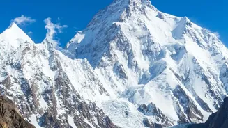
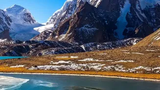
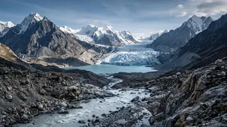
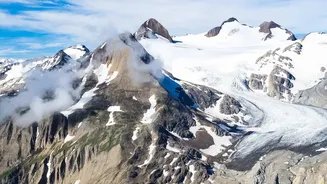
The story of downstream risk begins high up in the 'Third Pole,' the vast store of ice in the Himalayas. This region is warming at nearly twice the global average. This accelerated warming is causing glaciers to retreat at an alarming rate, with the pace
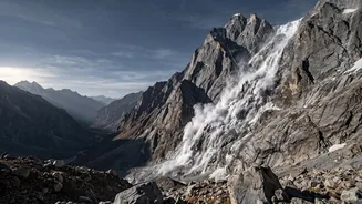
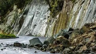
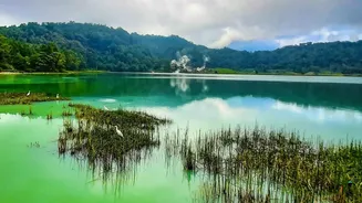
of melting doubling since the year 2000. As the ice vanishes, it leaves behind two dangerous legacies: unstable mountain slopes and massive, moraine-dammed glacial lakes. Think of these lakes as ticking time bombs. A single event—a landslide, a rockfall, or even just the pressure of too much meltwater—can cause the natural dam to burst, releasing a catastrophic volume of water in an instant. This is what scientists call a Glacial Lake Outburst Flood (GLOF), a primary hazard that initiates a chain of destruction.
A Cascade of Consequences
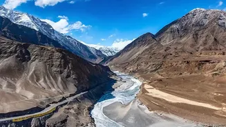
A GLOF is not just a flood; it's an inland tsunami of water, rock, and sediment. As this torrent surges down steep valleys, it gathers debris, transforming into a thick, destructive slurry that can be many times more powerful than a typical flood. But the risk doesn't end there. Long-term research highlights a less dramatic but equally serious consequence: sediment transport. The Himalayan region has one of the highest sediment yield rates in the world. Rivers like the Kosi are known to carry enormous loads of silt, which gets deposited downstream. This raises riverbeds, reduces the carrying capacity of channels, and steadily increases the risk of flooding in the plains during the monsoon. Furthermore, studies covering four decades of satellite data show that increased melt is making Himalayan rivers change their course more rapidly, threatening communities and vital infrastructure like roads and bridges built along their banks.
The View from the Plains
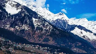
For the millions living in states like Bihar, Uttar Pradesh, and West Bengal, these upstream changes have direct and devastating consequences. The Kosi river, infamous as the 'Sorrow of Bihar,' is a stark example of how sediment deposition from the Himalayas can lead to frequent and disastrous channel shifting and floods. In the short term, increased glacial melt might seem to swell rivers, but this is a temporary and dangerous phase. Scientists project that as glaciers continue to lose mass, the long-term outcome will be reduced water flow, threatening the water security that underpins agriculture for a vast population. The entire Indo-Gangetic plain, the backbone of India’s food security, relies on the predictable flow of these Himalayan-fed rivers. Unpredictable floods, shifting river courses, and long-term water scarcity represent a fundamental threat to livelihoods and economic stability.
Beyond Early Warnings
Recent disasters, such as the Chamoli flood in 2021 and the catastrophic glacier collapse on the Nepal-Tibet border in August 2026, were not complete surprises. In many cases, scientific studies had flagged the specific risks years in advance, from expanding glacial lakes to the dangers of building infrastructure in vulnerable zones. These events underscore a critical lesson: merely reacting to disasters is not enough. The data shows a clear pattern of escalating risk, with scientists identifying around 200 glacial lakes across the Himalayas as potentially dangerous. Managing this threat requires a shift from crisis response to proactive, anticipatory planning. This includes not only sophisticated early warning systems but also difficult policy choices about land use, infrastructure development in fragile zones, and robust transboundary cooperation, since many of these river systems cross national borders.