





What is NavIC and Why Does It Matter?
NavIC, or Navigation with Indian Constellation, is India's indigenous regional navigation satellite system, developed and operated by the Indian Space Research Organisation (ISRO). Think of it as India’s answer to the American GPS. It’s designed to provide
accurate real-time positioning and timing services across the country and a region extending up to 1,500 kilometres beyond its borders. This isn't just about national pride; it's a matter of strategic autonomy. Having a sovereign navigation system is crucial for defence and security forces, ensuring that access to critical positioning data cannot be denied or degraded by foreign powers, a lesson India learned during the 1999 Kargil conflict. Beyond military use, NavIC supports a vast array of civilian applications, from disaster management and vehicle tracking to precise timing for financial transactions and power grids, and navigation for fishermen at sea.
A Constellation Under Strain
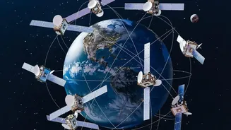
To provide an accurate position, a navigation system needs to receive signals from a minimum of four satellites. At its peak, the NavIC constellation consisted of seven operational satellites. However, over the years, the system has faced significant challenges. The primary issue has been the premature failure of imported atomic clocks on board several of the first-generation satellites. These clocks are the heart of any navigation satellite, providing the ultra-precise timekeeping needed to calculate a user's position. A tiny error of just one-billionth of a second can throw a location off by several metres. Due to these clock failures and satellites aging past their ten-year design life, the number of fully functional NavIC satellites providing positioning services dropped to just three, which is below the minimum required for standalone navigation.
Enter NVS-03: A Timely Technological Boost
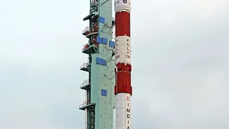
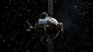
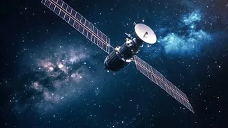
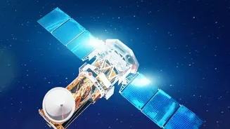
The NVS-03 satellite represents a crucial step in revitalizing the NavIC constellation. It's part of a new, second generation of navigation satellites designed to not only replace the aging ones but also to significantly upgrade the system's capabilities. One of the most important upgrades is the inclusion of an indigenously developed Rubidium atomic clock. Developed by ISRO's Space Applications Centre in Ahmedabad, this home-grown technology is designed to be more reliable than the imported clocks that failed on earlier satellites. Furthermore, NVS-03 is heavier and has a longer planned mission life of 12 years. This launch is especially critical following the failure of the previous mission, NVS-02, which did not reach its intended orbit in January 2025 due to a propulsion system issue.
Restoring a Critical Service
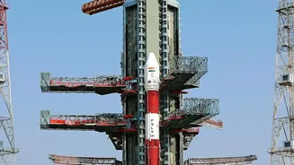
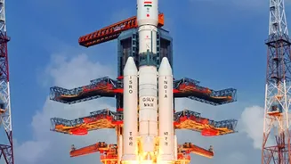
The launch of NVS-03 is scheduled between October 15 and 20, 2026, and is aimed squarely at restoring the NavIC system to its minimum operational strength. By successfully joining the constellation, NVS-03 would bring the number of functional satellites back up to four, allowing NavIC to once again provide independent positioning services. This means the system can determine a user's location on its own, without relying on signals from other global systems like GPS. While most civilian smartphones use multiple constellations and were not immediately affected, restoring this standalone capability is vital for strategic and military users who require a secure and sovereign network. The launch will be followed by NVS-04 and NVS-05, which are also in advanced stages of preparation, ensuring further robustness and redundancy for the network.
Beyond Navigation: The Future of NavIC
The second-generation NVS satellites are also built for the future. A key feature is the introduction of a new signal in the L1 frequency band, which is one of the most commonly used bands by civilian GPS receivers worldwide. The original NavIC satellites broadcast on the L5 and S bands. Adding the L1 band will make it much easier for manufacturers to make everyday devices like smartphones, wearables, and IoT devices compatible with NavIC. This move is expected to significantly increase the civilian adoption of India's homegrown navigation system. ISRO's long-term vision is even more ambitious, with proposals to expand NavIC from a regional system to a global one, putting it on par with GPS, GLONASS, and Galileo.