








The Challenge of the Open Sea
For centuries, maritime navigation has been a battle against the elements. Captains have relied on weather forecasts, nautical charts, and experience to guide their vessels, but the ocean always holds the potential for surprises. Unexpected storms, rogue
waves, and powerful, unseen currents can turn a routine voyage into a perilous one. This not only endangers the crew and cargo but also leads to delays and increased fuel consumption. Traditional methods provide a forecast, but they often lack the real-time, high-resolution detail needed to navigate the dynamic and often chaotic marine environment with precision.
An Eye in the Sky
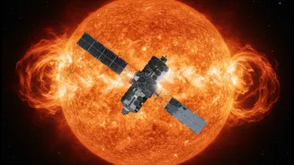
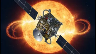
The game-changer has been the advent of satellite oceanography. A constellation of Earth-observation satellites, such as the European Union's Copernicus Sentinels and India's own Oceansat series, now orbit the planet, continuously monitoring the seas below. These satellites are equipped with a suite of advanced sensors, including radar altimeters and scatterometers. Altimeters measure sea surface height with centimetre-level precision, revealing the topography of the ocean, while scatterometers measure the roughness of the sea surface to determine wind speed and direction. Together, this data provides a comprehensive, near-real-time picture of ocean conditions on a global scale.
Decoding the Ocean's Movements
This stream of space data allows for the detailed mapping of critical ocean variables. Shipping companies and maritime safety agencies can now see real-time information on wave height, wave direction, the speed and direction of ocean currents, and even sea ice concentration. For instance, the Copernicus Marine Service provides data that helps define secure navigation routes by forecasting extreme situations at sea. Similarly, ISRO's SCATSAT-1 provides crucial wind vector data used for cyclone detection and tracking. This transforms the ocean from a vast unknown into a dynamically mapped environment, where dangerous conditions can be identified and tracked as they develop.
Smarter Routes and Safer Journeys
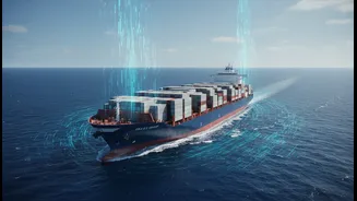
The practical application of this data is revolutionary for ship routing. Advanced software combines this satellite information with a vessel's specific characteristics to plot the optimal course. Instead of sailing directly into a region of high waves or against a strong current, a ship can be dynamically re-routed. This proactive approach to navigation significantly enhances safety by allowing vessels to avoid the most dangerous weather systems and sea states, reducing the risk of accidents and damage. This has been particularly vital for navigating in polar regions, where melting ice has opened new routes but also introduced new hazards like drifting sea ice.
More Than Just Safety
The benefits extend well beyond safety. A safer route is often the most efficient one. By avoiding rough seas where a ship's engine has to work harder, vessels consume less fuel. Studies and routing services have shown that this optimisation can lead to fuel savings of 5% to 15%. This translates into significant cost reductions for shipping companies and, importantly, a lower environmental footprint due to reduced greenhouse gas emissions. Furthermore, by providing more accurate arrival times, this technology helps reduce congestion at ports and improves the overall reliability of global supply chains.