
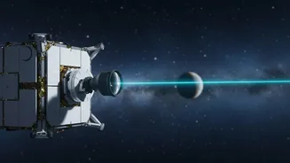
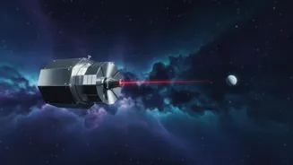
A New Watch Guard in Orbit
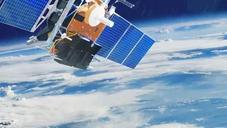
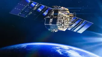
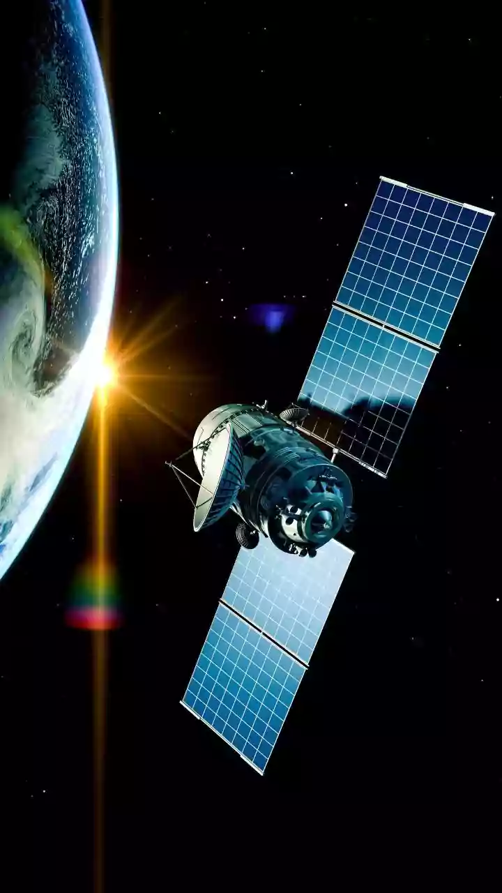
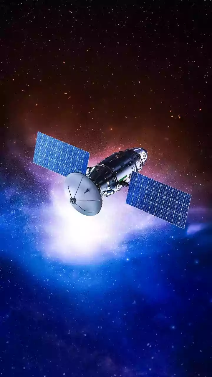
On July 7, 2026, three new satellites blasted into orbit, marking the beginning of a new era in wildfire management. These aren't just any satellites; they are the first operational units of the FireSat constellation, a system designed with a single,
urgent purpose: to find wildfires faster than ever before. The project is a major collaboration, led by the nonprofit Earth Fire Alliance and supported by the technical expertise of Google Research and the satellite manufacturer Muon Space. After a successful prototype mission in 2025, these three satellites represent the first step toward an ambitious goal of creating a global, near real-time fire detection network. They launched from California aboard a SpaceX rocket, beginning a three-month calibration period before their data starts flowing to fire agencies on the ground.
How to See a Spark from Space
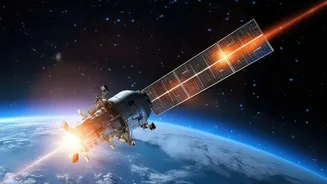
For decades, firefighters have used satellite imagery, but the technology had a crucial limitation. Most existing systems were designed for other purposes, like weather monitoring or broad land surveys. This meant their sensors weren't optimized for spotting fires, often missing ignitions smaller than a soccer field and only revisiting the same location once or twice a day. FireSat changes the game. Its satellites are purpose-built, carrying advanced multispectral infrared sensors that look for the specific heat signatures of a fire. This specialized hardware, combined with artificial intelligence on the ground, allows the system to distinguish the heat of a new fire from other sources, spotting blazes as small as 5-by-5 meters — roughly the size of a two-car garage.
Faster Than the Flames
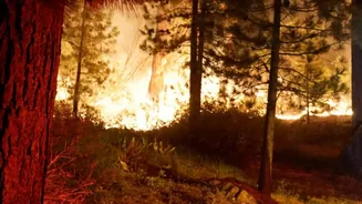
In firefighting, minutes matter. A small, manageable blaze can erupt into an uncontrollable inferno with frightening speed. The key advantage of the FireSat system lies in its speed, defined by what experts call "revisit time." This is the time it takes for a satellite to pass over the same spot on Earth again. While the initial trio of satellites will provide a global revisit time of about 12 hours, the vision is much grander. The Earth Fire Alliance plans to build the constellation to more than 50 satellites by 2030. Once complete, the FireSat network will be able to scan nearly the entire planet every 20 minutes. This frequency transforms wildfire detection from a reactive process, often triggered by a 911 call, into a proactive one, where the fire is spotted from space before many people on the ground even know it has started.
From Detection to Action
Spotting a fire is only half the battle. The true value of FireSat is its ability to deliver actionable intelligence to the people who can use it. The system is being developed in close partnership with fire agencies like CAL FIRE. When the satellites detect a potential fire, the data is processed almost instantly and an alert is sent to emergency response centers. This allows commanders to confirm the fire and dispatch resources far more quickly, potentially containing a blaze while it is still small. It creates a continuously updated picture of the fire's perimeter and intensity, giving firefighters on the front lines a safer, more accurate understanding of the situation they are facing. This isn't about replacing human lookouts or emergency calls, but adding a powerful, high-tech layer of protection.
The Big Picture: A Global Fire Service
While born from collaborations in California, a region all too familiar with devastating wildfires, the FireSat vision is global. The completed constellation will cover 99% of the planet's wildfire-prone areas, offering its services to fire agencies around the world. Beyond immediate emergency response, the unprecedented dataset generated by FireSat will be invaluable to scientists. By creating a detailed historical record of fire ignitions and behavior, researchers can build better models to predict fire risk and understand how climate change is influencing fire patterns. It’s a tool for both the present-day firefighter and the future-focused climate scientist, providing critical data to help make communities everywhere more resilient.