
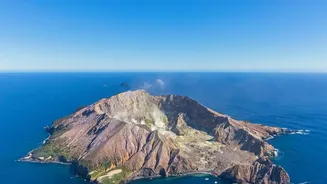
An Unbroken Record from Space
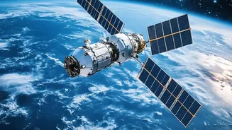
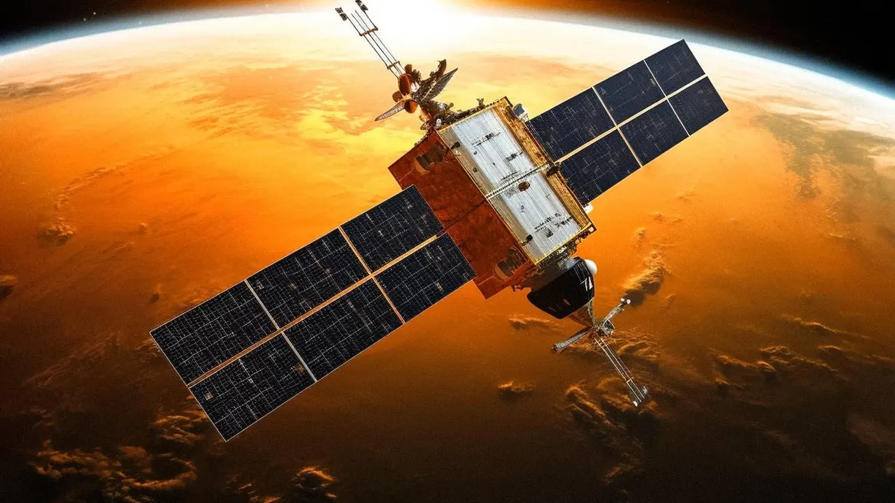
For decades, Earth-observing satellites like the Landsat and Copernicus Sentinel programs have been quietly compiling a vast visual history of our planet. While originally designed for applications like monitoring agriculture and land use, this continuous
archive has become an invaluable treasure trove for volcanologists. Before this, studying volcanoes was largely a ground-based effort, limited by accessibility, hazardous conditions, and the sheer scale of the landscape. Scientists could measure changes, but only at specific points where instruments were placed. Long-term satellite records changed the game. They provide a consistent, multi-decade motion picture of entire volcanic regions, allowing researchers to observe not just a single point, but the entire system as it breathes, swells, and shifts over time.
Seeing the Ground Deform
One of the most powerful techniques enabled by satellite archives is Interferometric Synthetic Aperture Radar, or InSAR. This method compares two radar images of the same area taken at different times to detect tiny changes in the ground's height. Because radar can 'see' through clouds and works at night, it offers an uninterrupted view. These comparisons can create a detailed map of ground deformation, revealing movements as small as a centimetre across a massive area. This is crucial because before an eruption, magma moving underground often causes the surface to bulge upwards, a process called inflation. InSAR can spot this swelling long before it's visible to the naked eye, offering clues about magma accumulating miles beneath the surface.
More Than Just Movement
Beyond ground deformation, long-term satellite records allow scientists to track a suite of other subtle volcanic signals. Thermal infrared sensors can detect minute, widespread increases in ground temperature over years, indicating that a volcano is reawakening long before other signs appear. Other sensors are designed to measure gases like sulphur dioxide and carbon dioxide being released from the ground, which can signal rising magma. Even changes in the health and colour of vegetation around a volcano can be a precursor. As magma releases gases into the soil, it can stress nearby trees, a change that can be detected from space. By combining these different data streams—ground movement, heat, and gas—researchers can build a much more comprehensive picture of a volcano's inner workings.
From Reaction to Forecasting
This wealth of long-term data is shifting volcanology from a science of reaction to one of proactive analysis. By observing a volcano over many years, scientists can establish a 'baseline' of its normal behaviour. For example, studies of Kīlauea in Hawaii and Mount Etna in Italy have used decades of data to better understand their inflation and deflation cycles. When a volcano deviates from its established pattern, it alerts scientists to potential unrest. This doesn't mean eruptions can be predicted with perfect accuracy, but it allows monitoring agencies to focus resources and issue more timely warnings. For instance, after InSAR detected unusual ground deformation near the Three Sisters volcanic cluster in Oregon, scientists installed more ground sensors, which later detected a swarm of small earthquakes.