





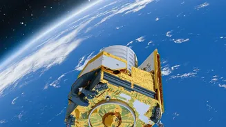

An Eye in the Sky Like No Other
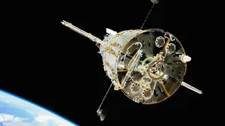
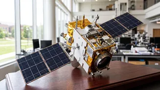
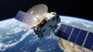
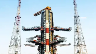
Launched in July 2025, the NASA-ISRO Synthetic Aperture Radar (NISAR) is not just another satellite; it is one of the most sophisticated Earth-observation missions ever undertaken. A monumental collaboration between the Indian Space Research Organisation
(ISRO) and NASA, NISAR is designed to monitor our planet’s surface in unprecedented detail. Using advanced radar technology, it can see through clouds and even darkness, allowing it to capture images day or night, in any weather. This all-weather capability is a game-changer for consistently tracking changes on Earth. The satellite orbits the Earth every 12 days, systematically scanning the entire globe to create a comprehensive and continuous map of changes to our land, ice sheets, and ecosystems.
The Power of Two Radars
What makes NISAR truly unique is that it’s the first mission to use two different radar frequencies simultaneously. NASA provided the L-band radar, and ISRO developed the S-band radar. This dual-frequency approach gives scientists a more complete picture of the Earth's surface. Think of it like having two types of vision. The longer wavelength L-band radar can penetrate through forest canopies to measure changes on the ground below, like soil moisture or deformation from a slow-moving landslide. The shorter wavelength S-band radar is exceptionally good at observing crop structures, vegetation density, and the near-surface ground layers, making it invaluable for agriculture and monitoring coastal regions. Together, they provide a rich, multi-layered view of the planet’s health.
From the Lab to Your Laptop
The most revolutionary aspect of the NISAR mission is its commitment to open and easy data access. In the past, obtaining satellite data could be a complex process reserved for specialized research institutions. ISRO has changed that by releasing NISAR's S-band data through its Bhoonidhi web portal. The data is systematically processed and made available for download, often within a day or two of being captured. This isn't just a raw data dump; the portal provides products at different levels of processing, some of which are essentially ready-to-use for analysis in common software. This move drastically lowers the barrier to entry, empowering a new generation of users.
A Goldmine for India's Future
For India, the applications of this data are immediate and transformative. Farmers and agricultural scientists can use the S-band data to monitor soil moisture and crop health with incredible precision, leading to better yields and water management. Disaster management agencies can track land subsidence in urban areas, monitor the stability of Himalayan glaciers, and get near-instant assessments of flood, earthquake, or landslide damage, even through heavy cloud cover. The data provides a vital backbone for infrastructure planning, water resource management, and tracking the effects of climate change across the subcontinent. It’s a powerful new tool for ensuring the nation's environmental and economic security.
The Democratisation of Space Data
Ultimately, the daily release of NISAR data via portals like Bhoonidhi signals a major shift in how we interact with space technology. This information is no longer confined to the servers of space agencies. Now, students working on a school project, startups developing new applications, and city planners making infrastructure decisions can all access and use the same high-quality data as world-class scientists. With user-friendly search tools and programmatic access for developers, ISRO is fostering an ecosystem of innovation. This open-access policy ensures that the insights from our 'eye in the sky' can be used by anyone, for the benefit of everyone.