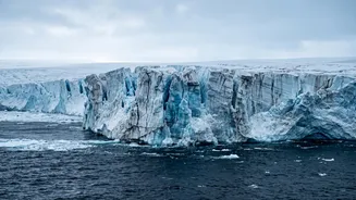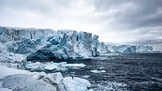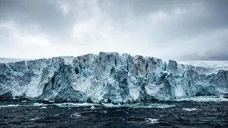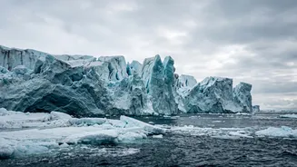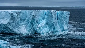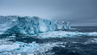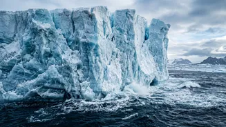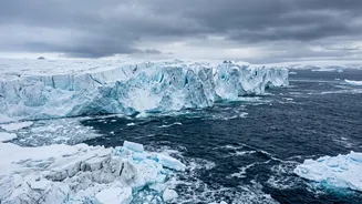







It’s nicknamed the 'Doomsday Glacier' for a reason. Antarctica's Thwaites Glacier holds enough ice to disastrously raise sea levels. Now, new research is shifting our understanding of its future, moving away from simple measurements to complex, revised
projections.
The Doomsday Glacier Explained
Located in West Antarctica, the Thwaites Glacier is one of the largest and fastest-melting glaciers on Earth. Roughly the size of Great Britain, its sheer scale is difficult to comprehend. For decades, scientists have watched it with growing concern, as it currently contributes to about 4% of annual global sea-level rise. The 'Doomsday' moniker comes from a terrifying possibility: its complete collapse could raise global sea levels by over two feet. More critically, it acts as a natural cork, holding back the rest of the West Antarctic Ice Sheet. If Thwaites goes, it could destabilise its neighbours, potentially leading to a catastrophic 10-foot rise in sea levels over the coming centuries, threatening coastal communities worldwide.
A Shift in Scientific Focus
The headline of a new study might seem anticlimactic; it revises projections rather than offering a single, scary number for sea-level rise. But this shift is precisely what makes the new science so important. For years, many models treated the point where the glacier meets the seabed as a simple line, called a 'grounding line'. However, recent research from institutions like NASA and the University of California, Irvine, reveals a more complex and worrying reality. Using advanced satellite data, scientists now understand there isn't a neat line, but a vast, kilometres-wide 'grounding zone'. In this zone, warm, salty ocean water pushes miles inland underneath the glacier's base, melting it from below and causing it to lift and resettle with the tides. This process was poorly represented in older models, which struggled to match real-world observations.
What the New Projections Reveal
By incorporating this messy, dynamic grounding zone into their models, researchers found something alarming. The new simulations, detailed in journals like Nature Communications, suggest that previous projections may have significantly underestimated the glacier's potential contribution to sea-level rise. According to one model, Thwaites could contribute up to 30 millimeters (about 1.2 inches) to sea levels by 2100—double some previous estimates. Shockingly, this could happen even without any additional climate warming, because the damage from past warming is already locked in. Another study led by the British Antarctic Survey ran an extreme simulation where all ocean melting was stopped. While a neighbouring glacier started to recover, Thwaites continued to lose ice for 150 years, showing it has passed a critical tipping point.
Beyond the Numbers
This focus on refining projections is about improving our ability to forecast risk. The new models, which better align with historical data since the 1990s, give scientists more confidence in their predictions. They reveal that the warm water is not just melting the ice; it's also weakening the glacier's connection to underwater ridges that act as natural stabilisers. One key anchor, the Mouginot Ridge, now has a 60% chance of being 'unpinned' by the end of the century. Losing this anchor would be like pulling the emergency brake off a train on a downward slope, likely leading to a much faster retreat. This detailed understanding of the mechanisms of collapse is more valuable for longterm planning than a single, static measurement.
The View From India's Coastline
A melting glacier on the other side of the planet can feel abstract, but its consequences are local and tangible. For a country like India, with over 7,500 kilometres of coastline and densely populated coastal cities like Mumbai and Chennai, even a seemingly small rise in sea level can have a massive impact. It amplifies the effects of storm surges, increases coastal erosion, and threatens freshwater sources with saltwater intrusion. While the worstcase scenarios for Thwaites are projected over centuries, the accelerated melt means that impacts once thought to be distant are now a concern for current and future generations. The insights from these revised projections are crucial for governments and communities to prepare for a future where coastlines will inevitably look different.