



Weather vs. Climate: A Quick Refresher
Before diving into the technology, it's crucial to understand the basic difference between weather and climate. Think of weather as your mood on any given day—it's temporary and can change quickly. It’s the rainstorm that cancels your picnic or the sunny
afternoon that makes for a perfect day out. Climate, on the other hand, is like your personality—it's the average of your moods over many years. It represents the long-term patterns of temperature, rainfall, and wind in a particular region. A single hot day is weather. A pattern of hotter summers over three decades is climate. The challenge for scientists is to determine when a series of unusual weather events is no longer just a statistical blip, but evidence that the underlying personality of our planet's climate is changing.
The Planet's Health Check, from Orbit
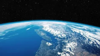
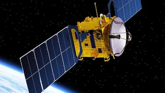
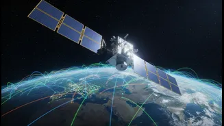
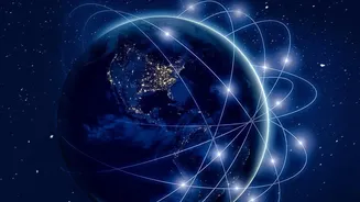
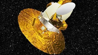
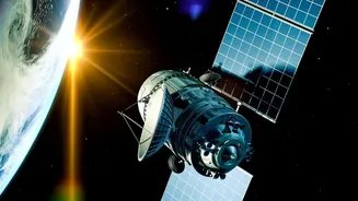
This is where satellites come in. Orbiting hundreds of kilometres above Earth, these sophisticated instruments act like doctors taking the planet's pulse. They don't measure temperature with a thermometer like we do on the ground. Instead, they measure energy, specifically the infrared and microwave radiation naturally emitted by the Earth's surface and atmosphere. Scientists can translate this radiation data into a wealth of information, including sea and land surface temperatures, the concentration of greenhouse gases in the atmosphere, and the height of the oceans. This allows them to build a three-dimensional picture of the Earth's systems, observing everything from cloud formations to tiny changes in sea level.
The Power of a Long-Term Record
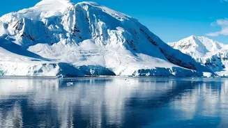
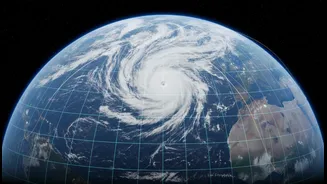
A single satellite image can show you the weather on a specific day, like the extent of a hurricane or the spread of a wildfire. But its real power for climate science comes from consistency over time. The satellite era began in earnest for environmental monitoring in the late 1970s. Missions from space agencies like NASA, ESA, and NOAA have created a continuous, invaluable record of our planet spanning more than four decades. This unbroken chain of data is the key. It allows scientists to look past the 'noise' of daily weather and identify subtle, persistent changes. For example, by stitching together decades of data from different but overlapping satellite missions, researchers can confirm that a recent, unusually rapid melting of an ice sheet isn't a one-off event but part of a multi-decade acceleration of ice loss.
Decoding a Heatwave or a Flood
So, when an extreme weather event occurs, like a devastating flood or a record-breaking heatwave, scientists turn to these long-term satellite archives. They can compare the event's intensity and location to the data from the past 40 years. This helps answer critical questions: Are events of this magnitude becoming more frequent? Are they occurring in places they didn't before? Satellite data can also show contributing factors, like higher-than-average sea surface temperatures that fuel more powerful storms, or lower soil moisture that intensifies droughts. By placing a single event within the context of a decades-long global dataset, what might seem like a random act of nature can be revealed as part of a predictable trend.
More Than Just Temperature
The story satellites tell isn't just about rising temperatures. It's a comprehensive narrative supported by multiple lines of evidence. Altimeter instruments on satellites bounce radar pulses off the ocean to measure sea-level rise with incredible precision, tracking the impact of melting ice and warming waters. Spectrometers analyze the composition of the atmosphere, monitoring the concentration of greenhouse gases like carbon dioxide and methane. Other sensors track deforestation, changes in land use, and the health of vegetation across the globe. This ability to monitor over 50 'essential climate variables' provides a holistic and undeniable picture of how Earth's systems are changing, allowing scientists to separate the temporary from the transformational.