


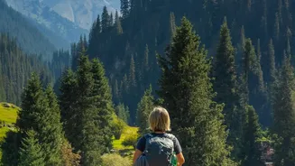

Khinalig: A Walk Through Time
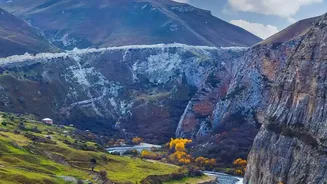
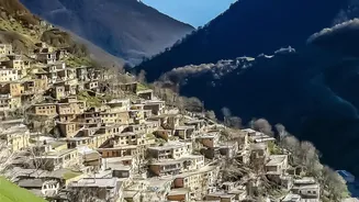
Perched at over 2,300 metres, Khinalig is one of the highest and oldest continuously inhabited villages in the Caucasus. This remote settlement, with its stone houses and a unique local language, serves as a gateway to stunning high-altitude treks. A
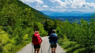
popular and accessible choice is the Khinalig to Galakhudat trail. This roughly 8-kilometre walk offers magnificent views of the Gudyalchay River Valley and the surrounding peaks without requiring an extreme level of fitness. The trail is well-marked, making it a great introduction to the region's raw beauty and deep history. For those seeking a longer adventure, Khinalig is a key point on multi-day treks that connect to nearby villages like Griz and Laza.
Laza and the Shahdag Foothills
The village of Laza, located in the Gusar district, is another favourite base for hikers. It is known for its dramatic twin waterfalls and its accessibility to Shahdag National Park, Azerbaijan's largest protected wilderness. A classic route connects Laza to the nearby village of Kuzun. This marked trail involves descents and ascents through valleys and forests, offering breathtaking views of Mount Shahdag and Mount Gizilgaya in the distance. The area around Laza is perfect for both short day hikes and as a starting point for more serious expeditions towards the base camp of Mount Bazarduzu, the country's highest peak. The village itself is well-equipped with guesthouses, making it a comfortable launchpad for mountain adventures.
Griz and the Canyon Trails
For hikers seeking a more remote and rugged experience, the area around Griz village is a must-visit. The Griz people have their own distinct language and are considered one of Azerbaijan's most ancient ethnic groups. The trails here are more demanding but reward the effort with solitude and spectacular canyon scenery. The route from Griz to Galakhudat, which can be combined with the trail from Khinalig, takes you past the Gurgur waterfall and through the dramatic Kokosh gorge. These paths are often ancient shepherd trails, winding along steep cliffs and open meadows. A hike here feels like a true expedition into a lesser-travelled part of the world.
The Lush Talysh Mountains
While the Greater Caucasus dominates the north, Azerbaijan’s south offers a completely different hiking environment in the Talysh Mountains. This region, bordering Iran, is a lush, subtropical world of dense forests, waterfalls, and tea plantations. It is home to the Hirkan National Park, a protected area known for its unique biodiversity. Hiking here feels less about stark alpine peaks and more about immersion in a vibrant, green landscape. Trails can lead to remote villages like Sim or stunning natural features like Lake Garanohur. These routes offer a different kind of quiet—the gentle sounds of the forest replacing the high-altitude winds of the Caucasus.
Planning Your Azerbaijani Hike
The best time for hiking in the Caucasus Mountains is generally from late spring to early autumn, typically May through October, when the high passes are clear of snow. The weather can be unpredictable, so always check forecasts and be prepared for sudden changes. While some trails like Khinalig-Galakhudat are well-marked, many lesser-known routes are not, and hiring a local guide is highly recommended, especially for multi-day treks. Guides not only provide safe navigation but also offer invaluable insight into the local culture. In the remote villages, guesthouses offer a warm welcome and a chance to experience authentic Azerbaijani hospitality. Remember to carry enough water and be respectful of local customs in these traditional communities.