


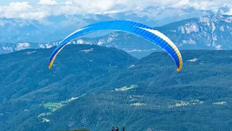
Understanding the Alpine Weather Engine
Unlike flatter regions where weather is predictable over large areas, mountains create microclimates. The Alps are a massive barrier that interacts with broader weather systems, but they also generate their own localized phenomena. This means the forecast
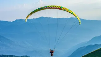
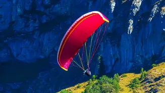
for a valley may be completely different from the conditions at a takeoff point just a few thousand feet higher. Solar radiation heats slopes unevenly, air is forced upwards or channelled through valleys, and temperatures can change in minutes. For a paraglider, whose wing is essentially a large fabric aerofoil, understanding these invisible forces isn't just a matter of performance—it's critical for safety.
The Daily Rhythm: Valley and Thermal Winds
The most fundamental weather pattern pilots contend with is the daily cycle of valley winds. During the day, the sun heats the mountain slopes. This warmer, less dense air begins to rise up the slopes, creating an 'anabatic' wind. This upslope flow can be a great source of lift for paragliders. As this air rises, it pulls more air up from the main valley floor, creating a 'valley wind' that can become quite strong by the afternoon. After sunset, the process reverses. The slopes cool down, chilling the air near them. This denser, colder air then flows downhill into the valley, a phenomenon known as 'katabatic' wind. While anabatic winds are often gentle, strong valley winds can be turbulent and make landings tricky, while katabatic flows can introduce unexpected sink or downdrafts.
The Foehn: A Notorious Alpine Danger
One of the most dangerous weather phenomena in the Alps is the Foehn (or Föhn) wind. This is a warm, dry, and extremely gusty wind that descends on the leeward side of the mountain range. It occurs when a weather system forces air over the mountains; the air loses its moisture on one side and then rapidly warms and accelerates as it descends on the other. A Foehn can increase wind speeds from a gentle breeze to over 50-60 km/h in a very short time, creating violent turbulence. For a paraglider, this can be catastrophic, causing wing collapses or pushing the pilot backwards into terrain. Experienced local pilots are exceptionally wary of Foehn conditions, and a common rule is: if the forecast mentions Foehn, you don't fly.
Thunderstorms and Unstable Air
Summer afternoons often bring the risk of thunderstorms. The same powerful thermal updrafts that paragliders use to gain altitude can, in an unstable atmosphere, continue to develop into massive cumulonimbus clouds. These storms pose a triple threat: extreme lift that can suck a pilot up into the cloud, violent turbulence and gusts, and lightning. Weather forecasts are crucial for identifying the risk of overdevelopment, but conditions can change faster than predicted. A clear sign of danger is the rapid, vertical growth of cumulus clouds. Pilots must always plan their flights to have a safe landing option available and to be on the ground well before a storm hits.
Your Safety Checklist Before Takeoff
Navigating Alpine weather is a skill built on knowledge and caution. Always start with a thorough check of multiple, reliable weather sources that specialize in aviation or mountain weather. Pay attention to wind speeds at different altitudes, the potential for Foehn winds, and atmospheric stability. Before launching, observe the conditions yourself. Watch the windsock, look at the clouds, and talk to local pilots or instructors. If you are new to an area, flying with a guide or school is the safest way to learn. Finally, trust your instincts. A key rule among experienced pilots is that if there is any doubt about the conditions, it is better to walk away and fly another day.