




What is Happening in the Pacific?
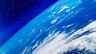
Meteorological agencies across the globe are reporting a significant warming of surface waters in the central and eastern equatorial Pacific. This is the key signature of El Niño, a naturally occurring climate pattern. Recent data indicates that water temperatures
in the key monitoring region have reached record levels for this time of year, prompting organisations like the World Meteorological Organization (WMO) to confirm that the ongoing El Niño is not just established, but rapidly intensifying. Forecasts suggest it will continue to strengthen, likely peaking in December, and could become one of the strongest events since 1950. This isn't just a minor temperature shift; it's a large-scale release of ocean heat into the atmosphere that disrupts typical weather patterns worldwide.
Decoding the El Niño Phenomenon
El Niño is the warm phase of the El Niño-Southern Oscillation (ENSO), a recurring climate cycle. In a normal year, strong trade winds blow from east to west across the Pacific, piling up warm surface water in Asia and Australia. During an El Niño, these trade winds weaken. This allows the massive pool of warm water to slosh back eastward, toward the Americas. This shift in ocean heat changes atmospheric pressure and alters global air circulation, affecting everything from rainfall in South Asia to hurricane season in the Atlantic. An 'El Niño Watch' is typically issued when conditions are favourable for its development, which then progresses to an 'Advisory' once the event is observed and expected to continue. The current event is well past the watch stage and is now a fully-fledged, strengthening phenomenon.
The Critical Connection to India's Monsoon
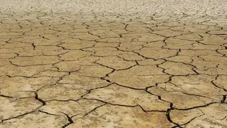
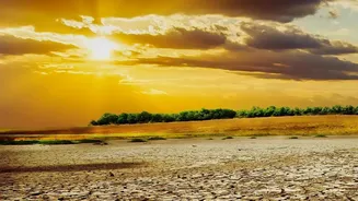
For India, the primary concern with any El Niño is its impact on the vital southwest monsoon. Historically, El Niño years are strongly associated with weaker monsoons and reduced rainfall across the subcontinent. The atmospheric changes over the Pacific disrupt the normal circulation patterns that drive moisture-laden winds towards India. This often leads to drier conditions and can result in drought. The recent monsoon season already saw a significant deficit, and the strengthening El Niño is a major factor being watched. While not every El Niño causes a drought in India, a majority of past drought years have coincided with an El Niño event. The impact, however, can be uneven, with some studies suggesting the relationship has weakened over central India but strengthened for north India in recent decades.
More Than Just a Weak Monsoon
The influence of El Niño extends beyond just the total volume of monsoon rain. Some research has pointed to a paradoxical effect where, even if the overall monsoon is weaker, the frequency of extreme rainfall events might increase. Furthermore, the impacts are not limited to summer. A strong El Niño can also lead to warmer and drier winters in India, which has significant consequences for the Rabi crop season, particularly for crucial crops like wheat that rely on winter conditions. The 2015-16 season, which followed a strong El Niño, saw an unusually warm winter with low rainfall, providing a recent example of these extended effects.
What Experts are Forecasting Now
Current forecasts from global climate centres like NOAA and WMO are in consensus: this El Niño is on track to be a 'very strong' or 'historic' event. There is a high probability that it will persist through the Northern Hemisphere's winter and into early 2027. While the phenomenon is global, its regional impacts can be modified by other climate patterns. For India, a factor that can sometimes counteract El Niño's drying effect is a 'positive' Indian Ocean Dipole (IOD), another ocean-atmosphere interaction closer to home. A positive IOD tends to bring more rain to India. Forecasters noted that a positive IOD was also in effect, but it is expected to decline after peaking in October. This means the offsetting effect may wane, leaving India to face the stronger influence of El Niño in the coming months.