







A Sky Crowded with Private Eyes
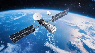
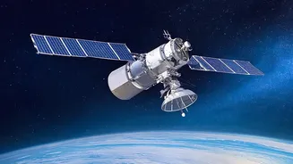
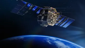
What was once the exclusive domain of government spy agencies is now a bustling commercial market. The number of private Earth observation (EO) satellites has exploded, with companies like Planet Labs, Maxar Technologies, and Airbus operating vast constellations.
As of 2024, there were already more commercial EO satellites than government ones, and that gap continues to widen. These companies are launching smaller, more advanced satellites at a dizzying pace. Recent launches by ISRO and Rocket Lab have further boosted this sector, enhancing capabilities for disaster management and environmental monitoring. The result is a near-constant stream of high-resolution imagery covering almost the entire planet, every single day.
AI: The Brains Behind the Operation
This firehose of data would be useless without another key technology: artificial intelligence. AI algorithms are the only way to sift through millions of daily images to find meaningful patterns. These systems can automatically detect and classify objects, monitor land use, track ships at sea, and even predict agricultural yields. The latest trend involves moving this analysis from Earth to orbit. New satellites are being equipped with onboard AI to process data in real-time, allowing them to send down alerts or focused insights instead of massive, raw data files. This makes the intelligence faster and more actionable than ever before, turning satellite imagery into a powerful business tool.
The Promise: A More Transparent Planet
The benefits of this technology are immense. Commercial satellite data has become indispensable for tracking climate change, from monitoring deforestation to measuring forest biomass. It aids in disaster response, providing near-real-time views of floods, wildfires, and cyclones, allowing for faster and more effective aid. Economists use it to forecast commodity trends by monitoring factory activity or crop health, while journalists and human rights groups have used it to document military buildups and expose atrocities. This new transparency has the potential to drive economic growth—estimated to contribute over $700 billion to global GDP by 2030—and hold powerful actors to account.
The Peril: Privacy, Security, and 'Deepfake' Maps
However, this all-seeing eye comes with significant risks. With commercial image resolution now as sharp as 10-25 centimeters, the line between observing public spaces and invading private lives is blurring. The ability to track individuals' movement patterns and monitor private property raises profound privacy concerns. There are also major security risks. The same data used to track illegal fishing can also be used to monitor troop movements. Furthermore, the data itself can be vulnerable. Experts have raised concerns about unencrypted satellite signals being susceptible to spoofing and the potential for creating 'deepfake' satellite imagery to spread disinformation during conflicts.
The Governance Gap: A Lawless Frontier?
The core problem is that the technology is advancing much faster than the laws designed to govern it. The foundational international space law, the 1967 Outer Space Treaty, was written when only nations were space actors. It makes countries responsible for the activities of their private companies, but it provides little specific guidance on data privacy, access, or security. This leaves a regulatory vacuum. Issues of data ownership, usage rights, and cross-border data flows are largely unresolved. While some national regulations exist, they are inconsistent, creating a patchwork of rules that struggles to keep pace with a technology that is inherently global. Experts agree that a more comprehensive international framework is desperately needed to manage this powerful new capability.