






India's Eye in a Fixed Sky
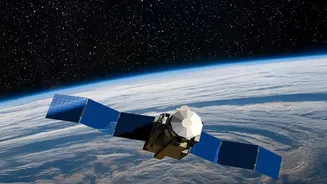
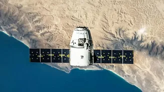
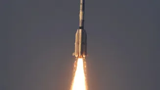
Launched on September 4, 2026, aboard the GSLV-F17 rocket, EOS-05 is not just another satellite; it's India's first imaging satellite placed in a geosynchronous orbit, roughly 36,000 kilometres high. Unlike satellites in Low Earth Orbit that pass over
a location periodically, EOS-05 stays fixed over the same broad region. This unique positioning allows it to function like a dedicated security camera for the planet, offering near-continuous observation of the Indian landmass and surrounding oceans. This capability for persistent monitoring is the key to its power, enabling it to track rapidly developing situations in real-time.
Advanced Imaging Technology
At the heart of EOS-05 are its advanced imaging instruments. The satellite is equipped with multispectral and hyperspectral imagers that can capture data across various wavelengths of light. This allows it to see more than the human eye, detecting specific characteristics of the Earth's surface and atmosphere. One of its imagers has a spatial resolution of 42 metres, which is reportedly the highest resolution for any camera placed in a geostationary orbit. This powerful combination means EOS-05 can generate detailed images of the entire Indian landmass every 30 minutes, and of a specific area of interest every five minutes.
A Game-Changer for Disaster Management
The primary objective of the EOS-05 mission is to enhance near real-time disaster monitoring. Its ability to provide frequent, wide-area imagery is invaluable for tracking natural disasters as they unfold. Authorities can use its data to monitor the progression of cyclones, floods, forest fires, and other rapidly evolving events. This constant stream of information provides a crucial window for emergency responders to plan evacuations, allocate resources, and manage recovery efforts more effectively. By watching over vast and often inaccessible areas, the satellite acts as a first responder from space.
Boosting Agriculture and Environmental Health
Beyond disasters, the satellite’s capabilities have significant applications for India's agricultural sector and environmental monitoring. The data collected by EOS-05 can be used to assess crop health over large areas, monitor soil moisture levels, and track changes in vegetation and land use. This information helps in forecasting yields, managing water resources, and promoting sustainable farming practices. Furthermore, it aids in monitoring water bodies, assessing forest health, and tracking environmental changes over time, providing critical data for climate change studies and resource management.
Strengthening National Security
While its primary applications are civilian, the strategic importance of EOS-05 cannot be overlooked. The satellite's persistent gaze over the Indian subcontinent and its maritime zones enhances situational awareness. It provides an additional layer of surveillance, complementing existing assets like drones and lower-orbit satellites to monitor borders and strategic areas. This capability to provide real-time imagery of a large area strengthens India's ability to generate its own crucial data for national security, offering a non-stop watch from a high vantage point.