





The Status of Cyclone Akvan
The India Meteorological Department (IMD) has been tracking a weather system that originated as a low-pressure area over the southeast Bay of Bengal around November 13th. It progressively strengthened, becoming a depression on November 15th, a cyclonic
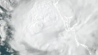
storm on November 16th, and further intensifying into a Severe Cyclonic Storm by November 18th. As of the latest reports, Cyclone Akvan was located over the west-central Bay of Bengal and moving north-northwestwards. Forecasts indicate it is likely to cross the coast of North Andhra Pradesh and South Odisha around November 20th as a severe cyclonic storm, with wind speeds potentially reaching 90-100 kmph, gusting to 110 kmph. The IMD has issued alerts, including a 'Red Message' for the coasts of Andhra Pradesh and Odisha, signalling the need for immediate action.
An Arsenal of Modern Monitoring
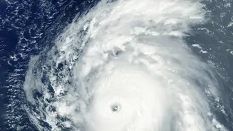
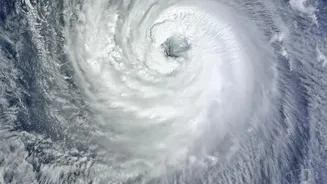
The phrase 'fresh monitoring' refers to the comprehensive and continuous surveillance activated by the IMD and other agencies whenever a cyclonic system develops. This is not just a passive watch but an active, multi-pronged effort. The process begins with satellite imagery that identifies cloud formations and patterns indicative of a developing storm. This is complemented by a network of ocean buoys that provide real-time data on sea surface temperature, pressure, and wind speed. As the system moves closer to land, Doppler Weather Radars play a crucial role, offering detailed insights into a storm's structure, intensity, and rainfall distribution. The IMD also employs advanced numerical weather prediction models, which run simulations to forecast the cyclone's track and intensity with increasing accuracy. Recently, the IMD even launched an interactive web-based Decision Support System to provide location-specific hazard information to disaster managers and the public, ensuring that warnings are translated into effective action on the ground.
Why the Bay of Bengal is a Cyclone Hotspot
The Bay of Bengal is a perfect breeding ground for cyclones for several reasons. Firstly, it has consistently high sea surface temperatures, often above 28°C, which provide the warm, moist air that fuels these massive storms. Secondly, the bay receives a massive inflow of fresh water from major rivers like the Ganga and Brahmaputra. This fresh water is less dense than the saltier ocean water, so it forms a warm layer on the surface that doesn't easily mix with the cooler water below, maintaining the energy supply for a cyclone. The bay's unique funnel shape also plays a significant role; as a storm moves north, the narrowing coastline can amplify its storm surge, leading to more severe coastal flooding. Finally, the region often has low vertical wind shear, meaning the wind speed and direction don't change much with altitude, allowing the storm to grow vertically and maintain its structure.
A Name with a Story
Ever wonder how cyclones get their names? It’s not random. For the North Indian Ocean region, which includes the Bay of Bengal and the Arabian Sea, names are contributed by 13 member countries. The process is managed by the IMD, which acts as the Regional Specialised Meteorological Centre. A storm is officially named once it intensifies into a Cyclonic Storm, with wind speeds of 62 kmph or more. The name 'Akvan' was suggested by Iran. It is a character from Persian mythology, a demon in the epic poem 'Shahnameh'. This systematic naming helps in clear communication, preventing confusion when multiple storm systems are active, and helps raise public awareness. The next name in the queue after Akvan is 'Kaani', contributed by the Maldives.