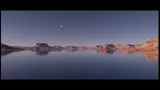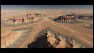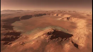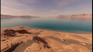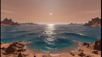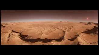





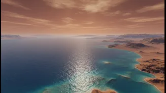
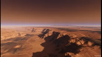
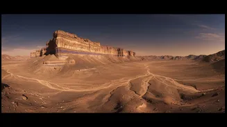


The Ghost of a Martian Ocean
For decades, the scientific community has debated whether Mars once hosted a large, stable ocean in its northern lowlands. Evidence from orbiters and rovers has shown clear signs of past water, such as dried-up riverbeds, deltas, and lake basins. However,
proving the existence of a body of water vast enough to be called an ocean has been challenging. One major sticking point has been the lack of a clear, consistent shoreline at a single elevation. Features that looked like ancient coastlines were found at varying heights, which cast doubt on the ocean theory. Scientists theorised that geological activity, such as the massive volcanic system of Tharsis, could have deformed the planet's crust over billions of years, but definitive proof remained elusive.
A New Way of Seeing Mars
The latest breakthroughs come not from a single new mission, but from a deeper, more sophisticated analysis of existing data. High-resolution orbital cameras, like the HiRISE camera on NASA's Mars Reconnaissance Orbiter, have mapped the Martian surface in stunning detail. These instruments, combined with digital elevation models, allow scientists to create incredibly precise topographic maps of the planet. In fact, our maps of the entire Martian surface are now more complete than our maps of Earth's own ocean floor. By applying advanced analytical techniques to this wealth of elevation data, researchers can identify subtle, large-scale geological features that were previously hidden.
Tracing the 'Bathtub Ring'
Recent studies have focused on features other than simple shorelines. One team of researchers identified a massive, wide band of land analogous to the continental shelves found on Earth. This feature, described as a planetary 'bathtub ring', is a more stable and long-lasting indicator of an ancient ocean than a simple coastline, which can fluctuate. This shelf appears to wrap around the northern lowlands, suggesting it formed where a vast body of water met the ancient highlands. Further supporting this, researchers found that ancient river deltas, where rivers would have deposited sediment, line up neatly with this proposed shelf. Another study used ground-penetrating radar from China’s Zhurong rover to find subsurface evidence of coastal sediment layers, much like those seen on Earth's beaches. These layered deposits, extending over a kilometre, suggest a persistent body of water with waves and tides.
What This Stronger Evidence Means
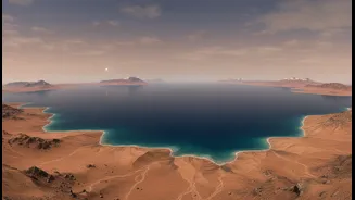
This new evidence significantly strengthens the case for an ancient, stable ocean that may have covered as much as a third of the Martian surface roughly 3.5 billion years ago. The identification of a coastal shelf and subsurface beach deposits provides a more robust geological framework than relying on fragmented shoreline data alone. It suggests the Martian climate was once warm and wet enough to support such a large body of liquid water for a prolonged period, possibly millions of years. The existence of a long-lived ocean has profound implications for the search for past life. On Earth, coastal areas are hotbeds of biological activity, and their sediments are excellent at preserving fossils. These newly identified ancient coastal zones on Mars could become prime targets for future missions seeking to find preserved biosignatures.