




The View from Orbit
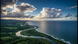
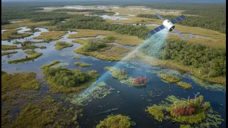
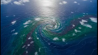
From hundreds of kilometres above Earth, Indian satellites create a constant stream of data about our planet. Agencies like the Indian Space Research Organisation (ISRO) operate a sophisticated fleet of Earth Observation (EO) satellites. These spacecraft
monitor everything from sea surface temperatures and chlorophyll levels, which indicate fish presence, to wave heights, coastal erosion, and the formation of cyclones. This 'space data' provides a powerful, big-picture view of the dynamic and often volatile processes shaping our 7,500-kilometre coastline. The technology is remarkable, offering synoptic coverage that is essential for understanding large-scale environmental changes.
The Reality on the Shoreline
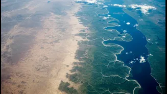
For the nearly 250 million Indians living within 50 kilometres of the coast, these changes are not abstract datasets; they are existential threats. Communities face a barrage of challenges, including rising sea levels that lead to chronic flooding and saltwater intrusion into freshwater sources, devastating agriculture. More frequent and intense cyclones, particularly on the historically less-prone western coast, threaten lives, homes, and infrastructure. The very ecosystems that provide a natural buffer, like mangroves and coral reefs, are degrading, amplifying the risk for vulnerable populations whose livelihoods in fishing and farming are already precarious.
The Critical ‘Translation’ Gap
Herein lies the disconnect. A raw satellite image of sea-level anomalies or a complex data file on water quality is of little use to a village sarpanch, a local disaster management official, or a fishing cooperative. This information needs to be processed, analyzed, and most importantly, translated into simple, actionable advice. The challenge is not a lack of data, but a bottleneck in converting that data into what experts call 'location intelligence'. It's the gap between knowing a cyclone is forming in the Bay of Bengal and telling a specific village exactly when and where to evacuate, or between seeing ocean currents and advising a fisher on the most fuel-efficient route to a good catch.
Bridging the Divide with Actionable Information
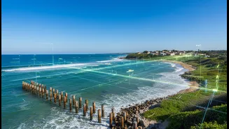
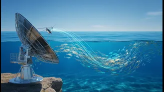
Fortunately, pioneering efforts are already showing the way. The Indian National Centre for Ocean Information Services (INCOIS) is a leader in this field. Its Potential Fishing Zone (PFZ) advisories, which use satellite data to point fishermen towards likely fish shoals, are a prime example of successful translation. These alerts, sent via SMS and mobile apps in local languages, have been shown to increase catch while reducing fuel consumption. Similarly, INCOIS and ISRO collaborate on early warning systems for tsunamis, storm surges, and even dangerous rip currents at popular beaches, turning complex data into life-saving alerts. These services demonstrate that when data is tailored to the end-user, it can have a profound impact.
Empowering the Grassroots
The next frontier is to embed this data-driven approach into everyday local governance. National initiatives are creating the backbone for this shift. ISRO's 'Grammanchitra' portal, which provides high-resolution land use maps for every village, is designed to help panchayats make better development plans. However, persistent challenges include limited technical capacity at the local level and fragmented data systems that prevent seamless sharing between departments. To truly empower coastal communities, there needs to be a concerted effort to build local expertise, create user-friendly dashboards, and foster collaboration between national science agencies, state governments, NGOs, and the communities themselves. This means investing not just in satellites, but in the people and systems that can turn data into wisdom.