





A Loss of Unimaginable Scale
It can be difficult to grasp the sheer scale of 11.3 trillion tonnes of ice. To put it in perspective, this mass of frozen water is enough to cover the entire continental United States in a layer of ice 1.5 meters, or about 5 feet, deep. This monumental
loss, tracked by an international team of scientists using data from 27 different satellite missions, has directly contributed to a global sea level rise of approximately 3.1 centimetres, or about 1.2 inches. While that might not sound like much, every centimetre of rise puts millions more people in coastal communities at risk of flooding and erosion. The polar ice sheets are now responsible for about a quarter of all sea-level rise, a share that has accelerated sharply since the 1990s.
The Two Poles, Two Different Stories
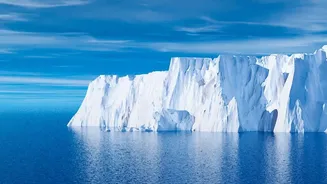
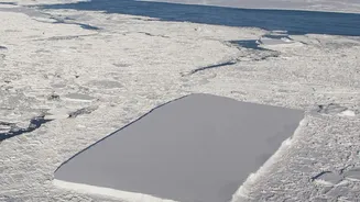
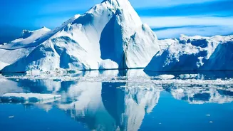
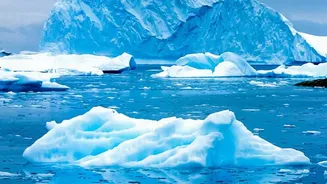
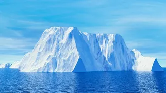
While both polar regions are losing ice, the primary mechanisms are different. Greenland, which accounts for the majority of the loss, is suffering significantly from surface melt. Warmer air temperatures are melting the ice sheet from the top down. As the ice sheet's elevation lowers, it is exposed to even warmer air, creating a dangerous feedback loop. In contrast, Antarctica's ice loss is predominantly driven from below. Warmer ocean waters are eating away at the massive floating ice shelves that fringe the continent. These shelves act like a cork in a bottle, holding back the vast glaciers on land. As they thin and weaken, glaciers behind them accelerate their flow into the sea. A stunning 84% of the combined ice loss from both poles comes from this dynamic of speeding glaciers, with only 16% due to surface melting.
The Rising Tide’s True Cost
The 3.1-centimetre rise in global sea level is not an abstract figure; it has tangible consequences for coastlines around the world, including India's extensive 7,500-kilometre coastline. Rising seas lead to more frequent and severe coastal flooding, threatening homes, critical infrastructure like ports and roads, and freshwater sources through saltwater intrusion. The acceleration is particularly concerning. In the 1980s, Greenland lost about 60 billion tonnes of ice annually; by the 2010s, that figure had jumped to 264 billion tonnes per year. Antarctica saw a similar jump, from 48 billion tonnes to 202 billion tonnes annually over the same period. This rapid increase underscores the growing instability of the ice sheets and the urgent need for coastal communities to prepare for a future with higher seas.
What Does the Future Hold?
The comprehensive satellite record, which provides the most complete picture of polar ice loss to date, confirms a clear, long-term trend driven by a warming planet. While researchers noted a temporary slowdown in ice loss between 2020 and 2023, they caution this was due to short-term weather patterns, such as unusually heavy snowfall in East Antarctica and milder summers in Greenland, not a reversal of the trend. The primary driver of the long-term loss—the dynamic response of glaciers to a warming ocean—remains firmly in place. Scientists are now working to refine regional models to better predict which parts of the ice sheets are most vulnerable. This ongoing monitoring is crucial, as the response of the ice sheets to climate change remains the single largest uncertainty in future sea-level projections, directly impacting hundreds of millions of people in low-lying coastal areas worldwide.