





A New Kind of Polar Thermometer
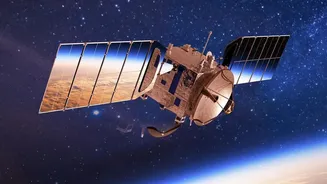
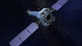
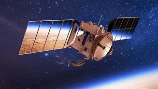
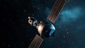
The new insights come from NASA's PREFIRE mission, which stands for Polar Radiant Energy in the Far-InfraRed Experiment. Since July 2024, a pair of small, shoebox-sized satellites called CubeSats have been circling the globe, capturing data that was previously
missing from our climate picture. These instruments don't just measure temperature; they measure how much heat energy radiates away from the Arctic and Antarctic. Specifically, they focus on far-infrared energy, a type of light invisible to our eyes. This is crucial because nearly 60 percent of the total heat Earth sheds into space is in this far-infrared range, yet it has never been systematically measured at the poles until now.
Two Years, Four Polar Seasons
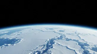
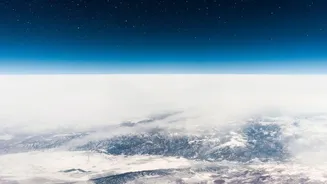
Completing two full years of observation is a major milestone. It allows scientists to see two complete seasonal cycles in both the northern and southern polar regions, offering a direct comparison. We've always known the poles have dramatic seasons, with 24-hour sunlight in summer and perpetual darkness in winter. But the PREFIRE data visualizes the stark differences in how the two poles breathe heat. The animations show the Arctic getting warm enough in summer to thaw large areas of sea ice and tundra, while Antarctica, the coldest continent on Earth, largely remains below freezing even during its summer. This continuous, detailed record replaces estimations with hard data, showing precisely how the energy budget changes through the long polar nights and days.
From Long-Term Trends to Daily Details
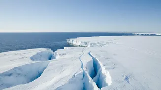
Scientists have long used satellites to track the long-term warming trends and shrinking ice cover at the poles. What makes the PREFIRE data so revolutionary is its detail and focus on the mechanism of heat loss. It helps scientists understand how different surfaces—such as open water, thick old sea ice, and fresh snow—radiate heat differently. It also measures how clouds and water vapor in the polar atmosphere trap heat, acting like a blanket. By filling in these gaps, the mission provides a much clearer view of the day-to-day and seasonal processes that drive the polar climate system, moving beyond just observing the consequences of change to understanding its fundamental mechanics.
Refining Our Climate Crystal Ball
This clearer view is not just an academic exercise; it has profound practical implications. The data gathered by PREFIRE is being used to improve climate models. Previously, these models had to rely on assumptions about how much far-infrared heat escaped the poles. With direct measurements, scientists can now make those models significantly more accurate. More reliable models mean better predictions about the rate of sea ice loss, the stability of the massive Greenland and Antarctic ice sheets, and, consequently, the pace of global sea-level rise. This improved forecasting ability is essential for communities around the world to prepare for the impacts of climate change.
Why Polar Data Matters in India
What happens in the Arctic doesn't stay in the Arctic. For India, with its extensive 7,500-kilometre coastline and millions of people living in low-lying areas, more accurate projections of sea-level rise are critically important. Furthermore, the rapid warming of the Arctic can disrupt large-scale weather patterns like the jet stream. Some scientific research suggests these disruptions can influence the stability and intensity of the Indian monsoon, a weather system that is the lifeblood of the nation's agriculture and economy. By helping to refine global climate models, this data from the planet's icy 'refrigerators' ultimately helps us better anticipate changes that could affect every one of us.