



The Challenge of Isolation
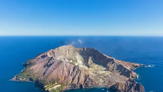
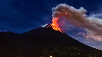
Around 1,500 potentially active volcanoes exist worldwide, but only a small fraction are monitored with ground-based equipment. Many are simply too remote, dangerous, or expensive to have a permanent scientific presence. Without seismometers, gas sensors,
or webcams on-site, a sudden eruption can go completely undetected by conventional means. This poses a significant problem, as the dangers from an eruption are not confined to its immediate vicinity. Ash plumes can travel thousands of kilometres, and the initial explosion can be a mystery without an eye in the sky.
An Unblinking Eye in Orbit
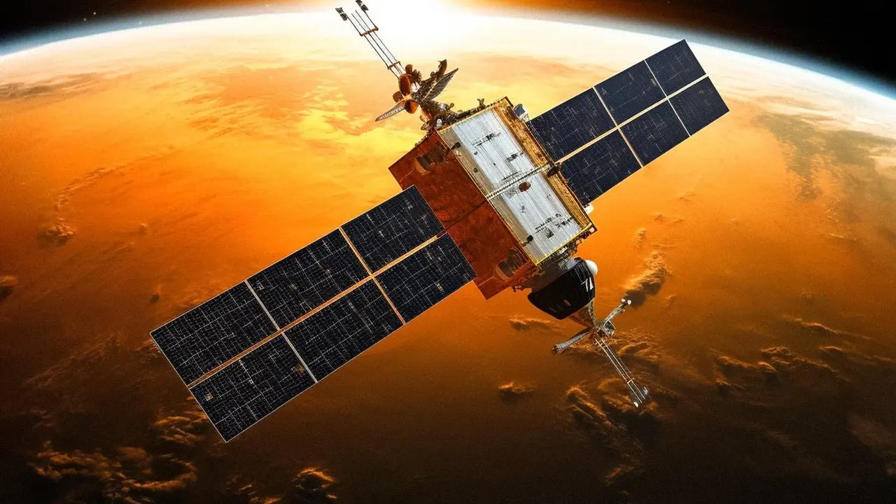
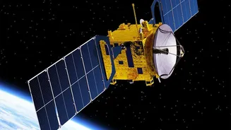
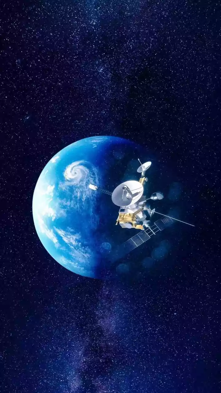
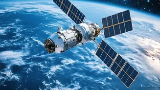
This is where satellite remote sensing becomes indispensable. Orbiting hundreds of kilometres above Earth, a constellation of satellites from agencies like NASA and the European Space Agency provides constant, global coverage. They act as our silent sentinels, capable of spotting the first signs of an eruption anywhere on the planet, often within hours or even minutes. This ability to detect an event quickly in a location with no ground-based instruments is the first and most critical role of satellite monitoring.
More Than Just a Pretty Picture
Satellite data provides far more than just a visual confirmation of an eruption. Scientists use a range of specialised sensors that see beyond the visible spectrum of light to understand what is happening. Thermal infrared sensors detect 'hot spots' on the Earth’s surface, revealing the presence of fresh, hot lava or the heating of the ground before an eruption. Spectrometers measure the types and quantities of gases being released, such as sulphur dioxide (SO2), a key indicator of magma moving towards the surface. Perhaps most impressively, a technique called Interferometric Synthetic Aperture Radar (InSAR) compares radar images taken at different times to detect minute changes in the ground level. This allows scientists to see a volcano 'breathing'—inflating as magma accumulates beneath it, a potential precursor to an eruption.
Guarding the Skies and Global Travel
One of the most critical applications of this technology is aviation safety. Volcanic ash, composed of tiny, sharp fragments of rock and glass, is a severe hazard to aircraft. It can sandblast cockpit windows, damage flight control systems, and, most dangerously, melt in the high temperatures of a jet engine, causing it to shut down. Since ash clouds are often difficult for pilots to distinguish from normal weather clouds, satellite detection is essential. Specialised algorithms analyse infrared satellite data to distinguish ash from water or ice clouds, allowing Volcanic Ash Advisory Centres (VAACs) to issue timely warnings and reroute air traffic, preventing potentially catastrophic incidents. This system protects thousands of passengers daily who fly on routes passing near active volcanic regions.
Case Study: The Raikoke Eruption
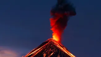
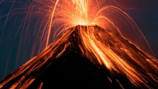
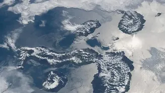
A perfect example of satellites in action was the 2019 eruption of the Raikoke volcano in the remote Kuril Islands. After decades of dormancy, the volcano exploded, sending a massive plume of ash and gas surging into the stratosphere. With no ground monitoring, the eruption was first detected and tracked entirely by satellites. Instruments like MODIS and Sentinel-3 captured the event, allowing scientists to analyse the plume's composition and track its movement across the North Pacific. This data was immediately fed to aviation authorities, who adjusted flight paths to keep aircraft clear of the dangerous ash, demonstrating the real-world value of these orbital observatories in mitigating a global threat from a local event.