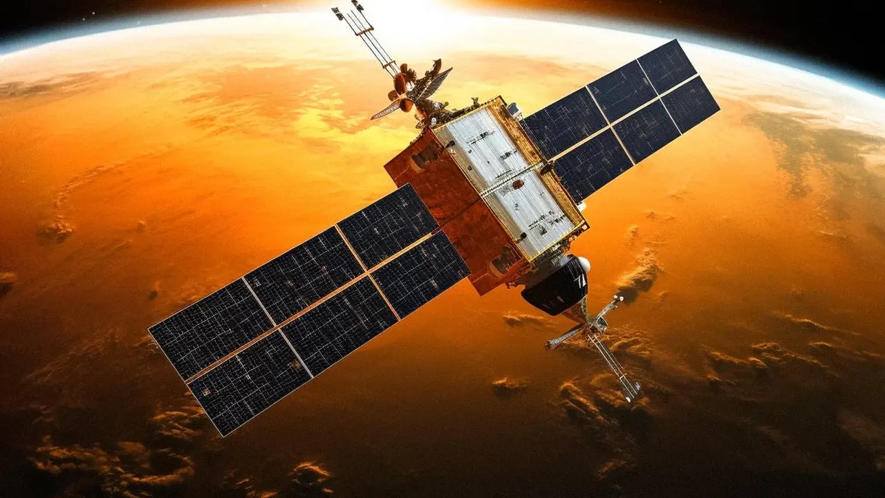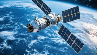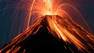





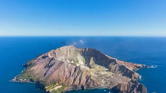
From their vantage point hundreds of kilometers above Earth, satellites offer a unique and crucial perspective on our planet’s most powerful geological forces. For volcanologists, this eye in the sky is an indispensable tool for monitoring remote volcanoes.
The Ground is Swelling
Long before an eruption, one of the most important warning signs is the ground itself beginning to swell or deform. As magma, or molten rock, rises from deep within the Earth, it pushes the ground above it upwards and outwards, much like air inflating a balloon. This movement is often tiny—just a few millimeters or centimeters—and invisible to the naked eye. However, satellites using a technique called Interferometric Synthetic Aperture Radar (InSAR) can detect these subtle shifts with incredible precision. By comparing two radar images of the same volcano taken at different times, scientists can create a detailed map of any ground movement. A pattern of uplift is a strong indicator that a volcano's magma chamber is filling, increasing pressure and the likelihood of an eruption.
Turning Up the Heat
Another critical clue that a volcano is becoming more active is a change in its temperature. As magma gets closer to the surface, it heats the surrounding rock and ground. While these temperature changes might not be dramatic enough to see, satellites equipped with thermal infrared sensors can spot these 'hot spots' with ease. Systems like NASA's MODIS can scan the globe daily, automatically flagging areas with unusually high temperatures. A new or growing thermal anomaly can tell scientists that magma is on the move and that an eruption could be more imminent. This is especially valuable for monitoring remote volcanoes where ground sensors are scarce.
Tasting the Air for Gas
Volcanoes don't just erupt rock and ash; they also release huge amounts of gas, often for years without any eruptive activity. One of the most important gases to monitor is sulfur dioxide (SO2). An increase in the amount of SO2 being released is a classic sign that fresh magma is rising to the surface. While ground-based sensors are used, satellites provide a 'big picture' view, allowing scientists to measure the total output of gas from a volcano and track its plume. Instruments on satellites like Copernicus Sentinel-5P and NASA's Aura can detect the chemical signature of SO2 and other volcanic gases from space, providing another layer of data to help forecast an eruption.
Tracking Ash Plumes for Safety
Once an eruption begins, satellite monitoring becomes essential for public safety, particularly for aviation. Explosive eruptions can shoot vast clouds of volcanic ash tens of thousands of feet into the atmosphere, directly into the flight paths of commercial aircraft. This ash is not like smoke; it's made of tiny, sharp particles of rock and glass that can melt in the heat of a jet engine, causing it to shut down. Satellites can see these ash clouds, which are often invisible to weather radar, and track their movement in near real-time. This allows Volcanic Ash Advisory Centers (VAACs) to issue warnings and reroute air traffic, as was famously done during the 2010 eruption of Iceland's Eyjafjallajökull volcano.