


Understanding NavIC: India's Own GPS
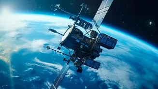
Navigation with Indian Constellation (NavIC) is India's homegrown response to foreign-owned Global Navigation Satellite Systems (GNSS) like the US-operated GPS. Developed by the Indian Space Research Organisation (ISRO), NavIC provides crucial positioning,
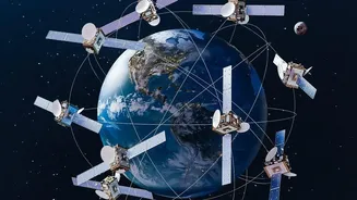
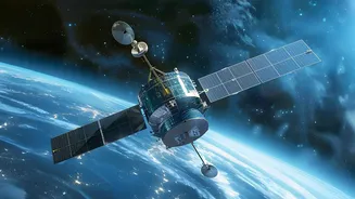
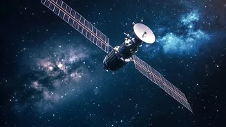
navigation, and timing services. It was conceived to give India strategic independence, ensuring that access to navigation is never compromised, a lesson learned during past geopolitical conflicts. The system comprises a constellation of satellites in geostationary and geosynchronous orbits, covering the entire Indian landmass and a region extending 1,500 kilometers beyond its borders. It offers a Standard Positioning Service (SPS) for all civilian users and an encrypted Restricted Service (RS) for strategic applications like national security and defence.
The Second-Generation Leap with NVS-03
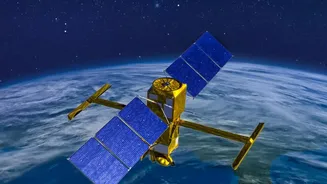
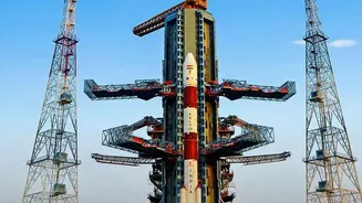
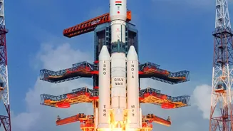
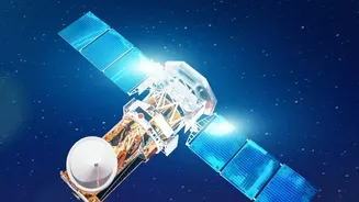
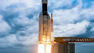
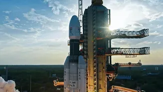
The upcoming launch of NVS-03 is a critical mission for ISRO. This satellite is part of a new series designed to augment and replace the original constellation, many of which have faced issues with ageing atomic clocks. The NVS series represents a major technological leap. One of the most significant upgrades is the inclusion of an indigenously developed Rubidium atomic clock. These clocks are the heart of any navigation satellite, providing hyper-accurate timekeeping essential for calculating precise locations. Failures in imported clocks on earlier satellites hampered NavIC's capabilities, making this indigenous development a huge step toward self-reliance. Another key enhancement is the introduction of a new L1 frequency band, in addition to the existing L5 and S bands. This is a game-changer for civilian use.
What the L1 Band Means for You
The L1 band is one of the most commonly used frequencies by civilian GPS systems worldwide. Its inclusion in the second-generation NavIC satellites makes the Indian system interoperable with the global standard. This means that a wide array of commercial and consumer devices, from smartphones to personal trackers and wearables, can easily be made compatible with NavIC without needing special, costly chips. For the average person, this translates to more reliable and accurate location data on their mobile devices, especially in dense urban environments where signals can be weak or obstructed. With the new satellites, NavIC's accuracy is expected to be better than 20 metres, offering a robust alternative and complement to GPS.
Bolstering Strategic Autonomy and Public Services
A fully functional NavIC is more than a convenience; it is a pillar of national security. For the armed forces, having a sovereign, encrypted navigation system is non-negotiable for guiding missiles, coordinating troop movements, and navigating warships and aircraft without fear of service denial by foreign powers. The launch of NVS-03 is a crucial step to restore the constellation to the minimum of four operational satellites required for standalone positioning services. Beyond defence, NavIC is integral to a host of public services. It is used for real-time train information systems, public vehicle safety trackers, disaster management and emergency warnings, and even for providing fishermen with alerts and potential fishing zone information. A stronger NavIC network means these services become more reliable and effective.
The Road Ahead for NavIC
NVS-03 is a vital piece of a larger puzzle. ISRO plans to follow this launch with NVS-04 and NVS-05 to fully restore and then augment the seven-satellite constellation. The second-generation satellites are also designed for a longer mission life of over 12 years, compared to the 10-year lifespan of their predecessors, ensuring greater continuity of service. As more of these advanced satellites join the constellation, India moves closer to not only ensuring its strategic independence but also becoming a major player in the global navigation landscape. The goal is to provide seamless, uninterrupted, and highly accurate positioning services to over a billion people, powered by Indian technology.