







A New, Crowded Sky
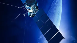
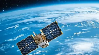
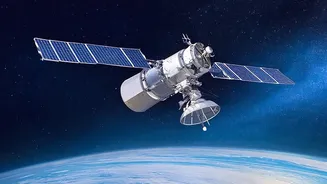
Once the exclusive domain of government agencies, Earth observation (EO) has been dramatically commercialized. Today, private companies are launching vast constellations of small satellites, expanding global coverage and revisit frequency at a startling
pace. This 'New Space' era is driven by falling launch costs and the miniaturization of powerful sensors. Companies like ICEYE, which owns the world's largest synthetic aperture radar (SAR) constellation, can capture images of Earth's surface through clouds and darkness, enabling persistent, all-weather monitoring. This shift from a few large government satellites to many smaller commercial ones has democratized access to space-based data, fueling a market projected to be worth over $700 billion by 2030.
How AI Turns Pixels Into Profit
The sheer volume of data beamed down from these satellites would be overwhelming without artificial intelligence. AI is the engine that transforms raw satellite imagery into actionable business intelligence. Instead of humans manually scanning images, machine learning models can automatically detect objects, classify land use, and identify changes with incredible speed and scale. For example, AI can analyze satellite data to monitor crop health for precision agriculture, track deforestation in near real-time, predict wildfire paths, or even estimate the economic activity of a port by counting ships. Some companies are now developing satellites with on-board AI that can process data directly in orbit, allowing for immediate alerts without the delay of downloading massive files to Earth.
Applications Across Every Industry
The economic impact of this technology is vast, touching nearly every sector. In agriculture, farmers use EO data to optimize irrigation and fertilizer use, boosting yields and promoting sustainability. The insurance industry uses satellite imagery to rapidly assess damage after natural disasters, speeding up claims. Financial traders analyze images of oil storage tanks or retail parking lots to gain an edge in the market. Governments and environmental groups monitor pollution sources, track glacier melt, and measure carbon stocks with unprecedented accuracy. Companies are also using the data to monitor their global supply chains and ensure compliance with environmental regulations. This technology is not just about taking pictures; it's about generating a continuous stream of data that informs critical economic and environmental decisions.
The Governance Gap
This rapid technological advance has outpaced the laws designed to govern space. The foundational Outer Space Treaty of 1967 was created for a world where only a few nations operated in space and doesn't adequately address the complexities of a commercialized domain. While countries are responsible for the private companies operating under their jurisdiction, this creates potential loopholes and inconsistencies. Key questions remain unanswered: Who owns the data collected? How is personal privacy protected when satellite resolution becomes sharp enough to track individuals? What happens when a commercial satellite providing vital climate data is repurposed or shut down by a government during a geopolitical crisis? As companies plan for data centers in orbit, even basic legal terms like a "worldwide" license become complicated.
Balancing Innovation and Oversight
The central challenge is balancing the immense benefits of commercial Earth observation with the risks. The same technology that monitors crop health can also be used to track troop movements, creating national security dilemmas. Unfettered data collection raises significant ethical concerns about surveillance and privacy. Furthermore, the explosion of satellite constellations contributes to the growing problem of orbital debris, which threatens the safety of all space activities. Experts argue that the current state-by-state approach to regulation is insufficient. They call for new international agreements and greater transparency to ensure that the commercialization of space doesn't lead to conflict, data misuse, or environmental harm, both in orbit and on the ground.