





What Exactly Is El Niño?
El Niño, which means 'the little boy' in Spanish, is the warm phase of a natural climate pattern called the El Niño-Southern Oscillation (ENSO). Under normal conditions, trade winds blow from east to west across the tropical Pacific, pushing warm surface
water towards Asia and Australia. This allows colder, nutrient-rich water to rise up along the coast of South America. During an El Niño, these trade winds weaken or even reverse. As a result, the massive pool of warm water shifts eastward, toward the Americas. This change in ocean temperature is so significant that it releases vast amounts of heat into the atmosphere, disrupting typical air pressure and circulation patterns far beyond the Pacific. These events occur irregularly, typically every two to seven years.
A Potentially Historic 2026 Event
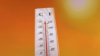
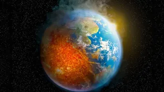
The 2026 El Niño is not just a typical cycle. According to the World Meteorological Organization (WMO), sea-surface temperatures in the central-eastern tropical Pacific are forecast to reach record levels in late 2026. Projections indicate the key oceanic indicator could reach 3.7°C above normal, a figure that would surpass the previous record of 2.6°C set during the strong 2015-16 event. Forecast models show a near-100 percent likelihood that El Niño conditions will persist through February 2027, with a high probability of this being one of the strongest events since 1950. This intense warming is layered on top of the long-term trend of human-caused climate change, which could push global temperatures into unprecedented territory.
Global Ripples, From Drought to Floods
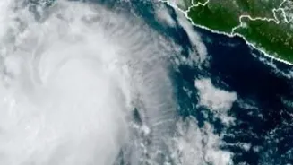
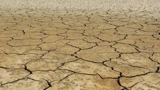
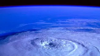
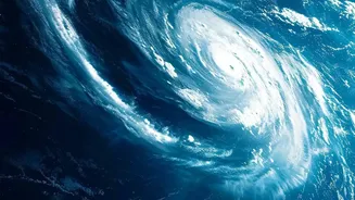
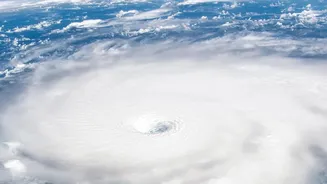
The changes in the Pacific Ocean create a domino effect across the globe through what scientists call 'teleconnections'. The altered heat and moisture in the atmosphere can shift the position of powerful jet streams, which act like rivers of air steering weather systems. This is why El Niño is associated with a wide range of extremes. For example, it often brings drought and increased wildfire risk to Australia and Indonesia. In contrast, regions like the southern United States and parts of South America, such as Peru and Ecuador, can experience much wetter conditions and increased flooding. The phenomenon also influences storm patterns, typically suppressing the Atlantic hurricane season while fuelling more intense cyclones in the Pacific.
What It Could Mean for India's Weather
For India, El Niño is watched with particular concern. Historically, there is a strong correlation between El Niño and a weaker southwest monsoon, which provides about 70 percent of the country's annual rainfall. The 2026 monsoon has already shown signs of this influence, with rainfall deficits reported. A weaker monsoon can lead to significant stress on agriculture, deplete water reservoirs, and impact the wider economy, with the Reserve Bank of India citing El Niño as a risk for inflation. However, the link is not a guarantee of drought. The final outcome can be complicated by other factors, like the Indian Ocean Dipole, a separate climate pattern that can sometimes counteract El Niño's effects.
Beyond the Monsoon Season
The impacts of a strong El Niño in India may not end with the monsoon. The phenomenon can also lead to warmer and drier winters in some parts of the country. However, the effect is complex; some research suggests El Niño can alter atmospheric circulation in a way that actually brings more winter precipitation to northwestern India via 'western disturbances'. Regardless of the specifics, the immense energy being released by the 2026 El Niño, combined with already elevated global temperatures, increases the risk of various extremes, from intense heatwaves to unpredictable rainfall patterns across the subcontinent.