



A Firestorm Over France
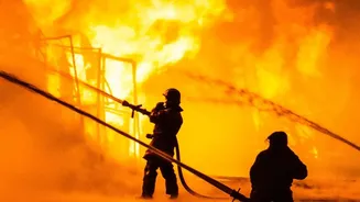
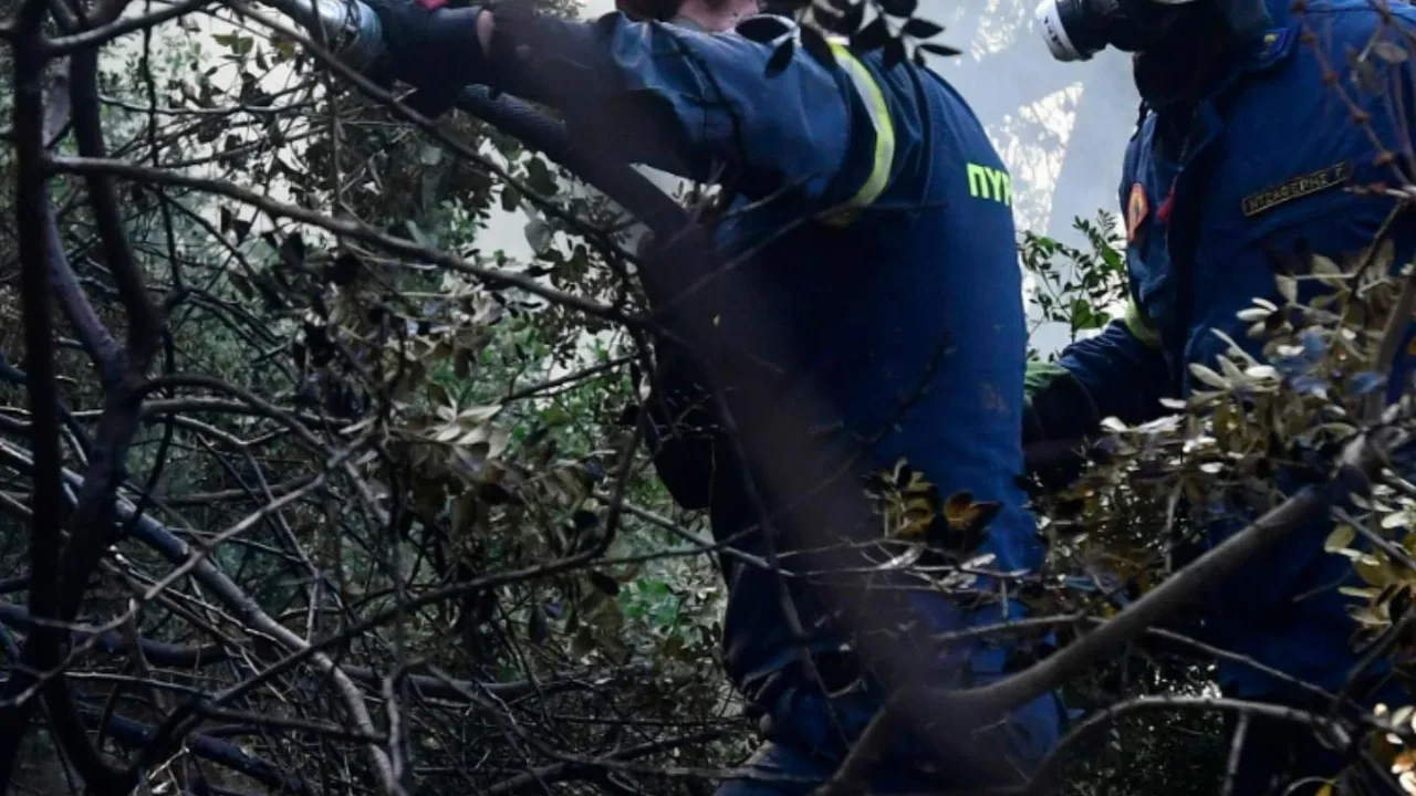
In late July 2026, firefighters in the Gironde region of southwest France battled a blaze of historic proportions. As tens of thousands of residents and tourists were forced to evacuate, something strange and alarming happened in the sky. The enormous
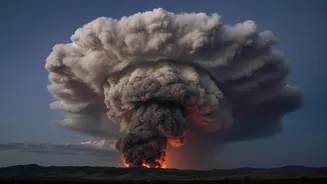
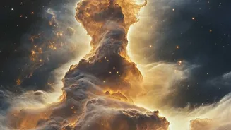
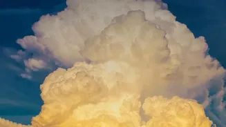
plume of smoke rising from the forest floor began to transform. It billowed upwards, morphing into a gargantuan, dark thundercloud that crackled with its own lightning. French officials confirmed they were witnessing a pyrocumulonimbus cloud, a fire-generated thunderstorm. It was a phenomenon never before officially recorded in France, signaling that the wildfire had become so intense it was now a weather-making engine.
The Science of Fire Clouds
So, how can a fire create a cloud? The process starts with immense heat. A large, intense wildfire acts like a powerful engine, sending a massive column of superheated air, smoke, and ash rocketing upward. As this plume ascends into the colder, lower-pressure environment of the upper atmosphere, it expands and cools. Moisture in the rising air, often pulled from the surrounding atmosphere and the vegetation being burned, condenses around the ash particles. This condensation forms a cloud, known as a pyrocumulonimbus cloud, or 'fire cloud'. The very act of condensation releases more heat, which makes the column of air even more buoyant, driving it higher and faster in a powerful updraft.
From Cloud to Thunderstorm
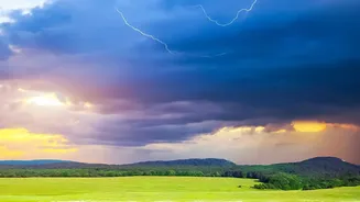
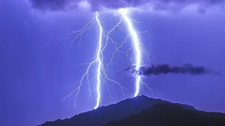
When conditions are right—a combination of a highly intense fire, an unstable atmosphere, and sufficient moisture—a simple fire cloud can grow into a monster. If the updraft is strong enough to push the cloud high into the freezing upper levels of the atmosphere (altitudes of 10-15 kilometers), the water droplets turn to ice crystals. The collision of these ice particles generates electrical charges, just like in a regular thunderstorm. The result is a pyrocumulonimbus: a full-blown, fire-born thunderstorm, complete with lightning and powerful, erratic winds. NASA has aptly nicknamed this phenomenon the "fire-breathing dragon of clouds."
A Dangerous Feedback Loop
A pyrocumulonimbus doesn't just look dramatic; it makes a dangerous situation catastrophically worse. The powerful updraft at the storm's core sucks in air from all directions, creating violent and unpredictable surface winds that can fan the flames and change the fire's direction in an instant. These storms can also hurl burning embers miles away from the main fire front, starting new blazes. Most dangerously, the lightning they generate can spark even more fires, as was observed in the French blaze. This creates a terrifying feedback loop: the fire creates a storm, and the storm spreads the fire. This unpredictability poses an extreme threat to firefighters, who can find their escape routes cut off and their strategies rendered useless.
A Worsening Global Threat
While new to France, these fire-breathing storms are becoming more common globally, having been documented during extreme wildfire events in Australia, Canada, and the United States. Scientists see this as another alarming symptom of climate change. Warmer, drier conditions lead to more frequent and intense wildfires, creating the perfect ingredients for these extreme weather events. For countries like India, which face their own significant challenges with forest fires, the events in France are a sobering reminder of how wildfire behavior is becoming more extreme and unpredictable in a warming world. Understanding this phenomenon is no longer a matter of mere scientific curiosity; it's critical for predicting fire behavior and protecting communities on the front lines.