

A New Summit Figure
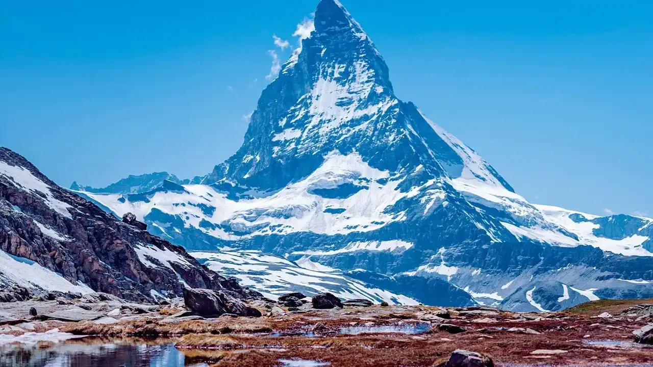
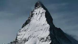
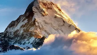
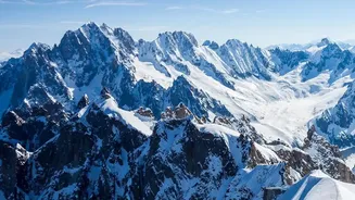
A team of French surveying experts has announced that the 'White Mountain' now stands at 4,807.47 metres. This latest measurement, taken in September 2026, marks a significant increase of nearly two metres from the 4,805.59 metres recorded in 2023. A team from the Haute-Savoie
departmental chamber of surveyors undertakes this challenging task every two to three years, providing a regular check-up on the famous peak that straddles the border of France and Italy. The new figure reverses a downward trend seen in previous years, where the summit had been gradually shrinking from a high of nearly 4,811 metres in 2007. But as the experts are quick to point out, this isn't a growth spurt in the mountain's rock, but rather a change in its thick, snowy cap.
The Science of a Fluctuating Peak
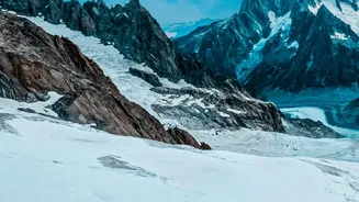
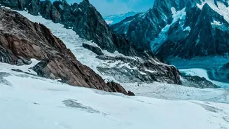
So, why does the height of Mont Blanc change so often? The answer lies in the distinction between its rock summit and its ice summit. The solid rock peak of Mont Blanc is stable at around 4,792 metres above sea level. However, it is covered by a thick cap of 'eternal snow' and ice that can be anywhere from 15 to 20 metres deep. This upper layer is what surveyors are actually measuring, and its thickness is in a constant state of change. The height is determined by the balance between annual snowfall, which adds to the cap, and the effects of wind and temperature, which can compact or whisk snow away from the summit. Essentially, the peak's measured height is a snapshot in time, reflecting the weather patterns of the preceding seasons.
How a Mountain is Measured
Measuring a mountain is no longer a matter of simple triangulation. Today's surveyors ascend the peak carrying sophisticated equipment. The process involves a team of about twenty people, including surveyors and high-mountain guides, who brave the difficult conditions. At the summit, they use high-precision Global Navigation Satellite System (GNSS) receivers to record signals from satellites. These signals are then corrected against a network of ground stations to achieve centimetre-level accuracy. In recent expeditions, drones and ground-penetrating radar have also been used to build a detailed 3D model of the ice cap and measure its structure beneath the surface, providing a much richer dataset than just a single height figure.
The Climate Change Question
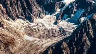
With any change in an icy environment, the immediate question is its link to climate change. However, researchers urge caution against drawing direct conclusions from a single measurement. Jean des Garets, president of the surveyors' association, noted that while the summit is constantly shifting, these biennial measurements are primarily for gathering long-term data. The increase in height does not necessarily mean the mountain has gained glacial mass overall. In fact, glaciologists point out that while lower-altitude glaciers in the Alps are retreating at an alarming rate, the dynamics at over 4,000 metres can be different. This data helps scientists build a comprehensive picture of how climate and weather patterns are influencing the high Alps over decades, rather than just two years.