


The Challenge from the Clouds
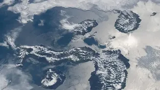
For anyone who has tried to take a scenic photo on an overcast day, the problem is obvious. Standard optical satellites, which are essentially powerful cameras in orbit, capture images using visible light. Just like our eyes, they are blocked by clouds.
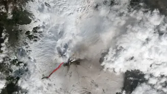
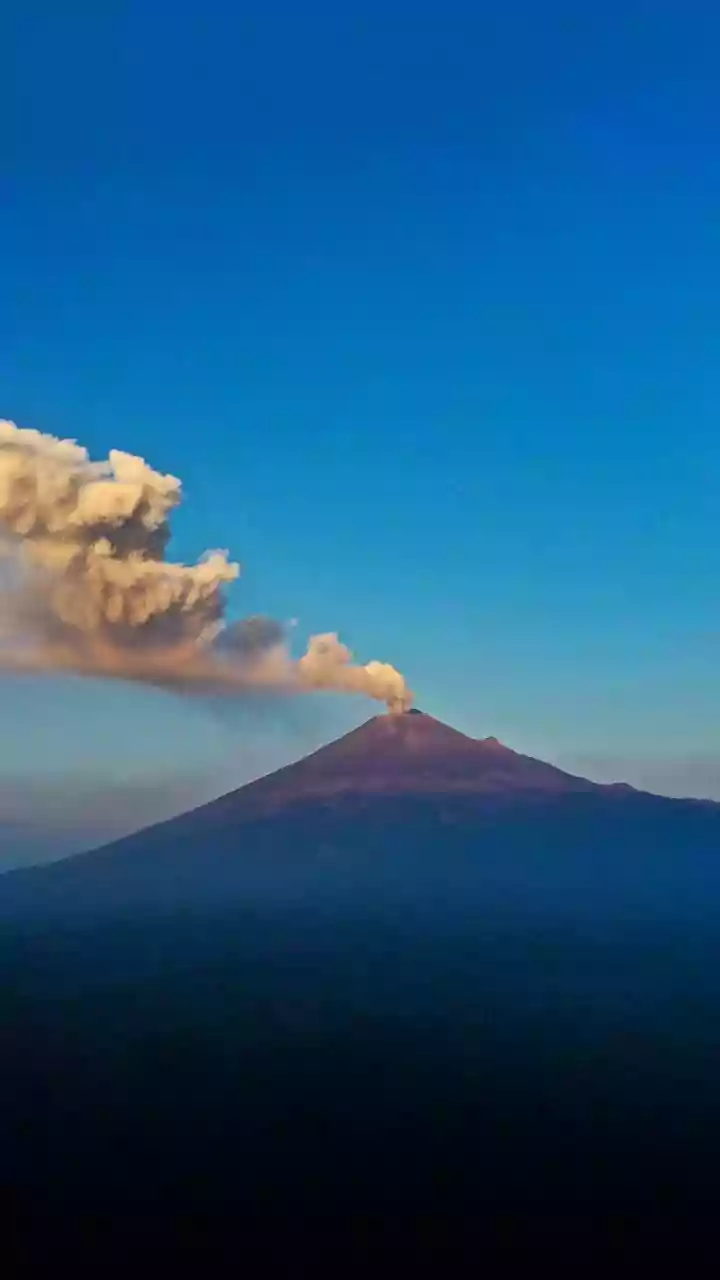
This presents a significant challenge for monitoring volcanoes, as many of the world's most active ones are located in tropical regions or at high altitudes where persistent cloud cover is common. During an eruption, the view can be further obscured by vast plumes of ash and steam, hiding the very activity scientists need to observe. If our only tool was a simple camera in space, our ability to track lava flows, dome growth, and other hazardous changes would be severely limited.
Seeing with Radar: A View Through Obstructions
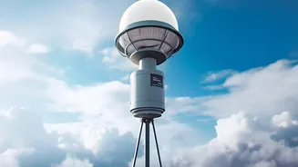
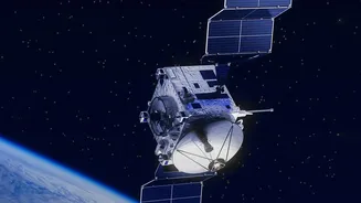
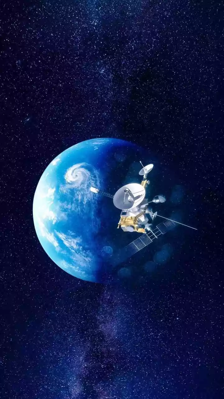
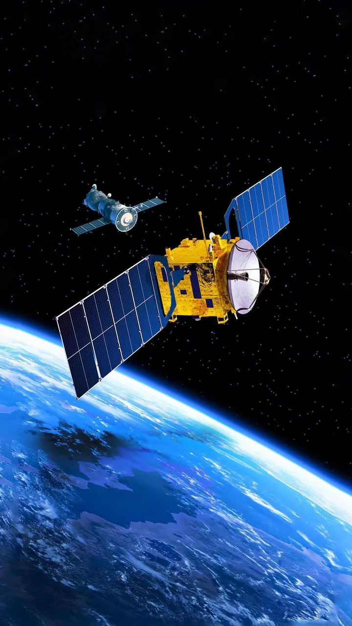
This is where Synthetic Aperture Radar (SAR) technology changes the game. Unlike optical satellites that passively receive light, a SAR satellite is an active sensor. It transmits its own microwave pulses towards the Earth's surface and measures the reflected signals that bounce back. Because these radar waves have a much longer wavelength than visible light, they can easily penetrate clouds, smoke, and darkness, providing a reliable view of the ground regardless of weather or time of day. This capability is invaluable for volcanology, allowing scientists to maintain constant surveillance even when the volcano is completely hidden from sight. By sending out its own 'flash', SAR creates a detailed picture of the surface below.
What Radar Reveals About a Volcano
SAR does more than just see through clouds; it detects subtle changes in the volcano's structure. By comparing two SAR images of the same area taken at different times—a technique called Interferometric SAR (InSAR)—scientists can measure ground deformation with centimetre-scale accuracy. If magma is accumulating beneath the surface, the ground will swell upwards, and InSAR can detect this inflation, often a precursor to an eruption. Conversely, it can detect subsidence after an eruption. This technology has been successfully used to monitor ground bulging at volcanoes like the Three Sisters in Oregon and Mauna Loa in Hawaii. Furthermore, radar can map the extent of new lava or ash flows by detecting changes in the surface texture.
Feeling the Heat with Infrared
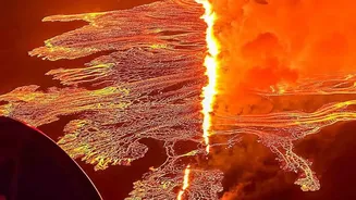
Another powerful tool is thermal infrared imaging. Satellites equipped with thermal sensors don't see visible light; they detect heat. Everything on Earth emits thermal energy, and these sensors can create an image based on temperature differences. Active volcanic features—like lava flows, superheated gas vents, or rising magma—are significantly hotter than their surroundings and show up as bright 'hot spots' in thermal imagery. While thick clouds can still block some thermal radiation, these sensors can often detect intense heat sources through thin clouds, steam, and ash plumes, providing crucial data on where active lava is breaking out. This allows scientists to map the progression of a flow and estimate eruption rates.
A Multi-Faceted Approach for a Fuller Picture
No single technology provides all the answers. The true strength of modern volcano monitoring lies in combining data from multiple satellite sources. While SAR is excellent for measuring ground deformation and seeing through clouds, it can struggle to distinguish between active and inactive lava flows. Thermal infrared data excels at identifying active heat sources but can be hindered by thick clouds. By layering SAR, thermal, and even traditional optical imagery (when available), scientists get a much more comprehensive understanding of the volcanic system. They can track ground movement with InSAR, pinpoint active lava with thermal sensors, and map the fine details of deposits with high-resolution photos, creating a complete and timely assessment of the hazard.