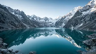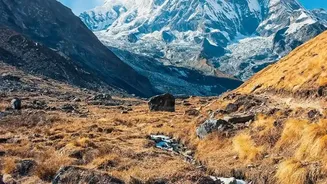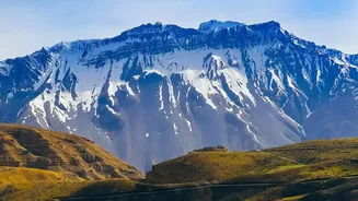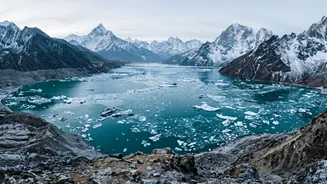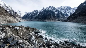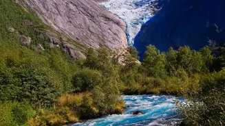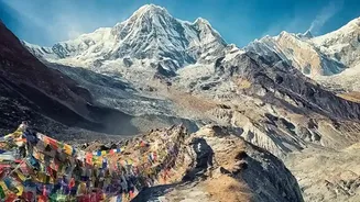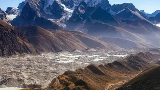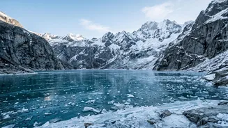





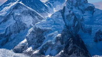
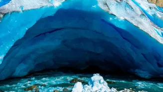
High in the Himalayas, new dangers are forming. As glaciers retreat at an alarming rate, they leave behind vast lakes of meltwater. Now, Indian authorities are prioritising the mapping of these precarious water bodies to prevent catastrophic disasters.
What is a GLOF?
A Glacial Lake Outburst Flood, or GLOF, is a sudden and powerful release of water from a glacial lake. These are not ordinary floods. They occur when the natural dam containing a glacial lake—typically made of loose rock and ice, called a moraine—fails. This failure can be triggered by a number of events, including rock or ice avalanches falling into the lake, earthquakes, or simply the build-up of immense water pressure. The result is a terrifying torrent of water, mud, and debris that can travel dozens of kilometres downstream, destroying everything in its path including villages, roads, bridges, and hydropower infrastructure. These events are characterized by extreme peak discharges, often many times greater than typical river floods.
A 'Ticking Time Bomb' Fueled by Climate Change
The Himalayan region, often called the 'Third Pole', is warming faster than the global average. This accelerated warming is causing glaciers to melt at an unprecedented rate. As glaciers shrink, they leave behind depressions that fill with meltwater, forming new lakes or causing existing ones to expand rapidly. Studies have documented hundreds of new glacial lakes forming in recent decades, with some expanding by as much as 800 per cent. This rapid growth puts immense pressure on the unstable moraine dams holding them back, creating what many experts describe as 'ticking time bombs' high in the mountains. The recent increase in GLOF events, such as the devastating 2023 flood in Sikkim that destroyed a major dam, underscores the growing urgency of this threat.
Mapping the Danger from Above
In response to this escalating risk, Indian disaster management authorities are prioritising the systematic identification and mapping of these potentially dangerous lakes. Led by agencies like the National Disaster Management Authority (NDMA) and the National Remote Sensing Centre (NRSC), this effort uses high-resolution satellite imagery to create a detailed inventory of glacial lakes across the Indian Himalayas. Using techniques like the Normalised Difference Water Index (NDWI), scientists can track changes in the size and volume of these lakes over time. This data allows them to classify lakes based on their potential for an outburst, considering factors like the lake's size, proximity to the mother glacier, and the condition of the moraine dam.
From Maps to Mitigation
Mapping is just the first step. Once a lake is identified as high_risk, a range of mitigation strategies can be employed. The NDMA's guidelines outline structural measures, which can include controlled breaching, siphoning or pumping water to lower the lake's level, or constructing a tunnel to create a safe outlet. However, accessing these remote and inhospitable locations is a major challenge. Therefore, a critical component of preparedness is the establishment of Early Warning Systems (EWS). These systems involve installing automated monitoring equipment to detect signs of an imminent dam failure and alert downstream communities, giving them precious time to evacuate. Recent events, like a GLOF in Bhutan that triggered alerts in West Bengal and Assam, have proven the value of timely warnings and cross_border cooperation.
Protecting a Vulnerable Population
Ultimately, this entire effort is about protecting human lives. Millions of people live in the downstream valleys of Himalayan rivers, their homes and livelihoods directly in the path of a potential GLOF. A UN_led study found that between 1835 and 2025, India recorded the highest number of deaths from GLOFs in the entire Hindu Kush Himalaya region, despite having fewer events than some neighbouring countries. This highlights the extreme vulnerability of downstream populations. By prioritising risk mapping and investing in early warning systems and community preparedness, authorities aim to shift from a reactive post_disaster response to a proactive strategy of risk reduction. Training local communities to be first responders is also a key part of the strategy, as they are often the first to be affected and the first to respond.