

The Silent Language of the Earth
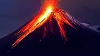
Before a volcano erupts, the ground around it often 'breathes'. Molten rock, or magma, pushing up from deep within the Earth can cause the surface to bulge upwards by centimetres or even metres. Conversely, as a magma chamber empties, the ground can sink.
These subtle movements, known as ground deformation, are one of the most reliable indicators of what's happening inside a volcanic system. For centuries, these signs were either too small to notice or could only be measured by teams physically placing instruments on the volcano's slopes—a dangerous and limited approach. Scientists needed a way to watch the entire volcanic landscape at once, safely and precisely.
An Eye in the Sky: InSAR Technology
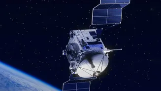
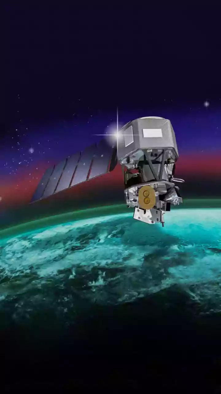
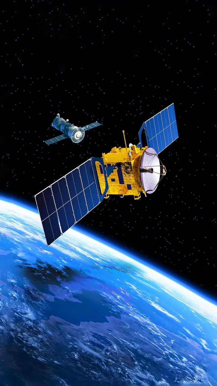
The breakthrough came from space. Scientists now use a powerful technique called Interferometric Synthetic Aperture Radar, or InSAR for short. It involves satellites that don't just take pictures, but actively send down radar pulses to the Earth's surface and record the reflected signals. This method has revolutionised volcanology, allowing for comprehensive maps of ground movement over vast, often inaccessible areas, with accuracy down to the millimetre. A huge advantage of radar is its ability to 'see' through clouds and darkness, making it a reliable tool for monitoring during a volcanic crisis, day or night, in any weather.
Spot the Difference from 700 Kilometres Up
The magic of InSAR lies in comparison. A radar satellite passes over a volcano and creates a precise image based on the radar waves bouncing back. Then, days, weeks, or months later, it passes over the exact same spot and takes another image. Scientists then digitally overlay these two images. If the ground hasn't moved, the radar waves from both images align perfectly. But if the ground has swelled up even slightly, the path for the radar wave becomes shorter, and if it has sunk, the path becomes longer. This tiny difference in the travel time of the wave creates a distinct pattern when the two images are combined.
Painting a Picture of Pressure
The result of this comparison is a map called an interferogram. These often look like psychedelic, rainbow-coloured contours laid over a map of the volcano. These are not random colours; each 'fringe' of colour represents a specific amount of ground movement either towards or away from the satellite. A series of concentric rings, for example, can show scientists exactly where the ground is bulging upwards, helping them pinpoint the location of a magma chamber filling up below. By analysing these patterns, scientists can model the depth, volume, and movement of magma, which is crucial information for assessing the potential for an eruption.
From Data to Life-Saving Decisions
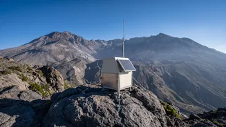
InSAR is not a perfect crystal ball; ground deformation doesn't always lead to an immediate eruption, and the technique can be less effective in heavily forested areas or on snow-covered slopes. However, it has become an indispensable part of the modern volcano monitoring toolkit, alongside traditional methods like seismographs and gas sensors. By providing a broad view of a volcano's behaviour, InSAR can detect unrest at remote volcanoes long before ground crews can arrive. This data gives authorities and local communities critical early warnings, turning the silent, subtle language of the Earth into actionable information that can help save lives.