







The New Eyes in the Sky
For decades, Earth observation was the exclusive domain of powerful governments and their space agencies. Launching and operating a satellite was an expensive, slow, and resource-intensive endeavor. That reality has fundamentally changed. A revolution,
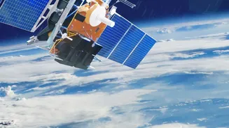
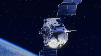
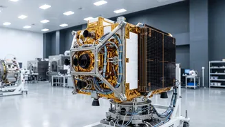
often called 'New Space,' is being driven by private companies. Firms like Planet Labs, Capella Space, and others have launched constellations of smaller, cheaper, and more numerous satellites. Instead of one large, multipurpose satellite, these companies operate swarms that can revisit the same spot on Earth with incredible frequency. Planet's fleet can image the entire landmass of the Earth daily. Recent launches have added even more specialized capabilities, including Synthetic Aperture Radar (SAR) which can see through clouds and at night, effectively eliminating any place to hide. This shift from a few government-owned eyes to hundreds of commercial ones has democratized access to high-resolution imagery, making it a commodity.
AI as the Supercharged Brain
These satellite constellations generate an almost incomprehensible amount of data—petabytes of images that would be impossible for humans to analyze manually. This is where Artificial Intelligence becomes the crucial second half of the revolution. AI, particularly machine learning and computer vision models, sifts through this flood of pixels to find meaningful patterns. It can automatically detect objects like cars and ships, classify land use, monitor construction activity, and spot changes over time. More advanced AI can even process data onboard the satellite itself, sending down finished analysis rather than raw imagery, which drastically speeds up response times. This combination turns chaotic data into structured, actionable intelligence, allowing us to understand our world in near real-time and at a continental scale.
Unprecedented Capabilities, Unexpected Applications
The fusion of private satellites and AI is creating powerful new tools across nearly every industry. In agriculture, it enables precision farming, where farmers can monitor crop health and soil moisture on a plant-by-plant basis. For climate science, it provides undeniable evidence of deforestation, glacial melt, and the impact of extreme weather. During natural disasters like floods or wildfires, AI-powered analysis can map the affected areas, identify safe evacuation routes, and locate stranded populations within hours, saving lives. Hedge funds and retailers use this data for economic forecasting, tracking activity at ports or even counting cars in shopping mall parking lots to gauge economic health. Even urban planners can monitor city growth and infrastructure needs with a new level of detail.
The View from India
India is actively embracing this new era, recognizing both the strategic imperative and the commercial opportunity. The Indian Space Research Organisation (ISRO) recently launched its own advanced geo-imaging satellite to provide continuous monitoring of the subcontinent, enhancing disaster management capabilities. Simultaneously, the government is fostering a robust private space ecosystem. Through the Indian National Space Promotion and Authorisation Centre (IN-SPACe), a landmark public-private partnership has been initiated. A consortium of Indian startups, including Pixxel and Dhruva Space, will build, own, and operate the country's first private Earth observation constellation. This move is designed to ensure data sovereignty, reducing reliance on foreign imagery, and position India as a global competitor in the geospatial intelligence market, aligning with the Atmanirbhar Bharat (self-reliant India) vision. States like Assam are also procuring their own satellites to manage regional issues like floods and land use.
A Widening Governance Gap
This technological leap has far outpaced our legal and ethical frameworks. A recent report from the Organisation for Economic Co-operation and Development (OECD) highlights rising concerns about national security, privacy, and the potential for misuse. The same satellite that tracks illegal logging can also monitor troop movements, a dual-use nature that complicates regulation. Key questions remain unanswered: Who truly owns the data captured by a private company? What are the privacy rights of individuals when their movements and properties can be persistently monitored from space? Furthermore, under international law, private space activities must be authorized and supervised by a national government, tying commercial operators to geopolitical interests and raising questions about data access during conflicts. This creates a 'tragedy of the commons,' where the rush to exploit low-Earth orbit risks orbital congestion, debris, and a regulatory environment struggling to keep up.