







What is NavIC, India's Answer to GPS?
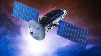
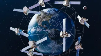
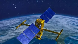
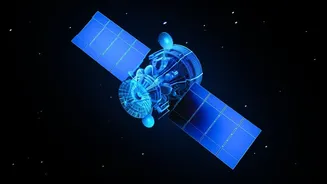
Navigation with Indian Constellation (NavIC) is the Indian Space Research Organisation's (ISRO) independent regional navigation satellite system. Designed as a homegrown alternative to foreign systems like the US-owned GPS, Russia's GLONASS, or Europe's
Galileo, NavIC provides crucial positioning, navigation, and timing (PNT) services. Its primary coverage area includes the Indian mainland and extends roughly 1,500 kilometres beyond its borders. This capability is vital for both civilian and strategic applications, offering everything from disaster management and vehicle tracking to secure communications and guidance for the Indian military, ensuring the country isn't dependent on foreign-controlled systems during a crisis.
A Constellation in Crisis
The original NavIC constellation, once consisting of seven active satellites, has faced significant challenges. A recurring issue has been the failure of imported rubidium atomic clocks, which are the heart of any navigation satellite. These clocks provide the ultra-precise timekeeping needed to calculate a user's exact position. Over the years, multiple first-generation satellites have lost their ability to provide navigation services due to these clock failures. The situation grew more acute in March 2026, when the last functional atomic clock on the IRNSS-1F satellite failed, just after completing its 10-year design life. This, combined with an unsuccessful launch of the NVS-02 satellite in 2025, has left the constellation severely depleted.
Why Four is the Magic Number
A satellite navigation system needs a minimum of four operational satellites to provide an accurate, standalone three-dimensional position. A receiver on the ground calculates its latitude, longitude, and altitude by measuring signals from at least three satellites. The fourth satellite is essential to correct for timing errors in the receiver's own internal clock. As of late 2026, the NavIC constellation has fallen below this critical threshold, with only three satellites fully capable of providing PNT services. This means that while NavIC can still provide timing data and one-way messaging, it cannot currently function as an independent navigation system for users on the ground.
Enter NVS-03: A Mission of Restoration
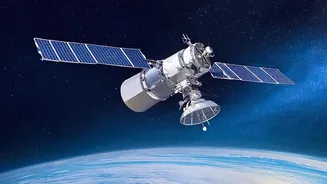
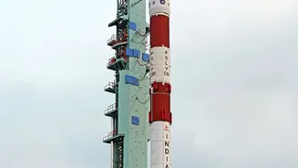
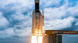
The NVS-03 mission represents a critical effort to restore the NavIC system. Scheduled for launch between October 15 and 20, 2026, it is the next in a new series of second-generation satellites designed to replenish and upgrade the constellation. A successful NVS-03 launch would bring the number of operational satellites back to the crucial minimum of four, reactivating NavIC’s standalone positioning services. These new NVS satellites are built with enhanced features, including a longer lifespan of 12 years and, most importantly, new indigenously developed rubidium atomic clocks designed to be more reliable than their predecessors. They also broadcast on the L1 frequency band, which will widen their services and improve interoperability with other global navigation systems.
The Strategic Stakes for India
The health of the NavIC constellation is directly tied to India’s strategic autonomy. Relying on foreign GPS services creates a vulnerability; access could be denied or degraded during a geopolitical conflict, a lesson India learned during the 1999 Kargil conflict. A fully functional, sovereign navigation system is non-negotiable for the military, which requires it for guiding precision munitions, troop movements, and coordinating naval and air assets. Beyond defence, a robust NavIC underpins national infrastructure, from transportation and logistics to power grids and financial networks. The success of the NVS-03 mission, and the subsequent launches of NVS-04 and NVS-05, is therefore not just a matter of space technology but a cornerstone of India’s national security and economic development.