


The Problem with Clouds
Traditional Earth-observing satellites use optical sensors, which work much like a powerful camera in space. They capture detailed, colour images of the planet's surface, which are incredibly useful for everything from mapping cities to monitoring forests.
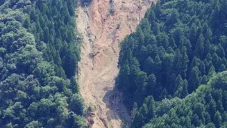
However, they have a fundamental weakness: they need clear skies and daylight. Just like our eyes, they cannot see through clouds, smoke, or the dark of night. This is a major problem for monitoring dynamic events like volcanic activity, landslides, or the aftermath of an earthquake, which often occur with bad weather and require continuous observation.
Radar's All-Weather Vision
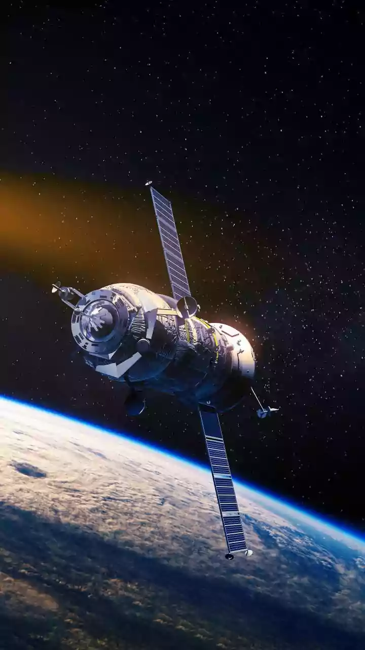
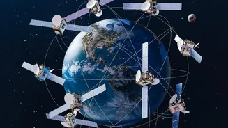
This is where Synthetic Aperture Radar (SAR) technology changes the game. Unlike optical sensors that passively record reflected sunlight, SAR is an active system. It works by sending its own microwave pulses down to Earth and recording the signals that bounce back. Because these radar waves have a longer wavelength than visible light, they can penetrate clouds, dust, and smoke, and since the satellite provides its own illumination, it can operate day and night. This gives scientists a reliable, all-weather tool to watch the Earth's surface without interruption.
The Magic of 'Spot the Difference'
Seeing through clouds is just the first step. The real magic for detecting ground movement comes from a technique called Interferometric Synthetic Aperture Radar, or InSAR. In essence, InSAR is a highly sophisticated version of a 'spot the difference' game. A satellite flies over the exact same area at two different times and takes a radar image on each pass. By comparing these two images, scientists can measure tiny changes in the phase of the returning radar waves. If a patch of ground has moved closer to or farther away from the satellite between the two passes—even by a few millimetres—it creates a measurable difference in the signal. This difference is then displayed as a map of colourful fringes, called an interferogram, which precisely shows where the ground has uplifted, subsided, or shifted.
Forecasting Disasters and Saving Lives
The ability to detect millimetre-scale deformation over vast areas is revolutionary for disaster management. Before a volcano erupts, magma moving underground often causes the surface above to bulge upwards. InSAR can detect this subtle uplift, providing an early warning that an eruption may be imminent. Similarly, it can identify slow-moving landslides that might otherwise go unnoticed until it's too late. In India, ISRO used InSAR analysis during the 2023 Joshimath crisis, revealing that the town had experienced rapid subsidence of over 5 cm in just 12 days, providing crucial data for evacuation and safety measures. This technology helps authorities understand risks and make informed decisions without needing expensive instruments on the ground in remote or hazardous locations.
Monitoring Our Sinking Cities
Ground deformation isn't just about natural disasters. In many urban areas, the excessive extraction of groundwater can cause the land to gradually sink, a process known as subsidence. This can damage buildings, roads, and other critical infrastructure. InSAR is an invaluable tool for monitoring this slow, widespread sinking across entire cities. It can help urban planners and engineers identify hotspots, understand the causes of subsidence, and take measures to mitigate the risks. It provides a comprehensive picture of ground stability that would be impossible to achieve with ground-based sensors alone.
The Future is NISAR: A Joint Effort
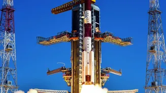
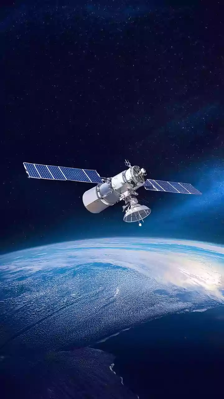
The future of this technology for India and the world is particularly bright, thanks to the NASA-ISRO Synthetic Aperture Radar (NISAR) mission. This groundbreaking joint project between the American and Indian space agencies is set to be one of the most advanced Earth-observation satellites ever launched. NISAR is unique because it will use two different radar frequencies (L-band and S-band), allowing it to gather even more detailed and precise data on an unprecedented scale. It will map the entire globe every 12 days, tracking changes in everything from ice sheets and ecosystems to seismic activity and groundwater levels. This mission will provide a torrent of crucial data to help scientists better understand our planet's complex processes and manage natural resources and hazards more effectively, with a specific focus on Indian priorities like coastal monitoring and geology.