





An Iceberg the Size of a City
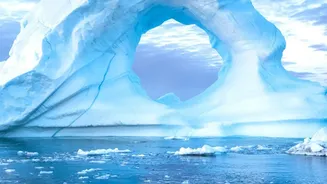
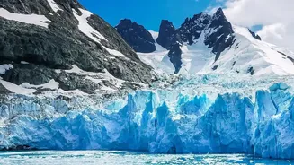
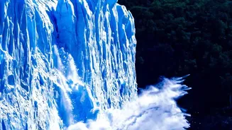
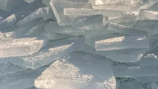
The scale of the event was staggering. A vast sheet of ice, covering an area of 76 square kilometres and estimated to be up to 150 metres thick, detached from the glacier's floating ice tongue. For perspective, that's an ice island roughly the size of Manhattan
floating into the Arctic Ocean. This was the glacier's largest loss of floating ice since 2012 and the most significant calving event in the Arctic since 2020. Such events are powerful reminders of the rapid changes occurring in Earth's polar regions, but this time, scientists were watching every moment, thanks to sophisticated technology orbiting hundreds of kilometres above.
The All-Seeing Eye in the Sky
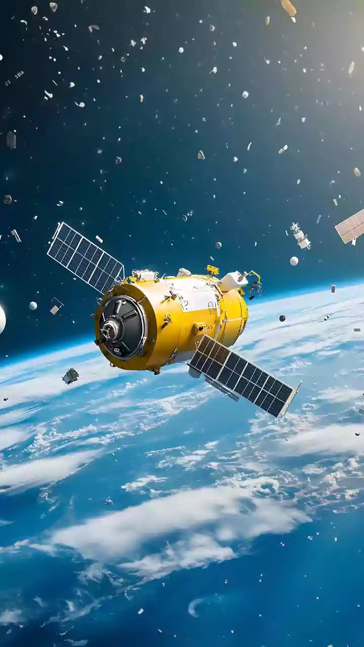
The key technology behind this detailed monitoring is Synthetic Aperture Radar, or SAR. Unlike a regular camera or optical satellite that needs daylight and clear skies, SAR is an active sensor. It provides its own illumination by sending down pulses of microwave energy. This means it can 'see' through darkness and cloud cover, which is essential for observing the remote and often stormy polar regions year-round. Missions like the European Space Agency's Copernicus Sentinel-1 are specifically designed for this purpose, providing a continuous and reliable stream of data on the planet's icy expanses.
Painting a Picture with Pulses
So, how does it work? A SAR satellite sends a radar beam towards the Earth's surface and meticulously records the signal that bounces back. The strength of this returning signal (its backscatter) reveals information about the physical properties of the surface, like whether it's rough ice or smooth, newly formed meltwater. By compiling these return signals as it flies, the satellite creates a large 'synthetic' antenna, allowing it to generate incredibly detailed, high-resolution images that look almost photographic but are packed with much more information about the surface structure. This gives scientists a precise map of the glacier's features, from its vast, flat top to the smallest fissures.
Spotting Cracks Before They Form
Even more powerfully, scientists can use a technique called SAR Interferometry (InSAR). By comparing the phase of the radar waves from two images taken at different times, they can detect minute movements on the surface with centimetre-level accuracy. Think of it like a hyper-sensitive 'spot the difference' game for the Earth's surface. In the months leading up to the 2026 break, researchers used InSAR to observe subtle deformations, growing fractures, and stresses building within the Petermann Glacier's ice tongue. These tell-tale signs of instability, invisible to the naked eye, confirmed that a major break was imminent, turning satellites into an early warning system for large-scale geological events.
Why a Greenland Iceberg Matters for India
While Greenland may seem a world away, its fate is directly connected to coastal communities everywhere, including in India. The Greenland ice sheet is the second-largest reservoir of fresh water on Earth and a significant contributor to global sea level rise. If it were to melt entirely, sea levels could rise by over seven metres. The meltwater from events like the Petermann calving adds to the global ocean, and this rise is not uniform. For a country like India with over 7,500 kilometres of coastline and major cities like Mumbai, Kolkata, and Chennai situated near sea level, even a few inches of rise can lead to more frequent and severe coastal flooding, erosion, and challenges for millions of people. Monitoring these distant ice breaks helps refine models that predict future sea level rise, giving vulnerable regions more time to prepare.