





A New, Crowded Sky
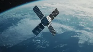
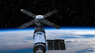
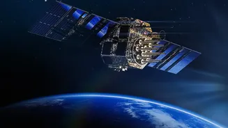
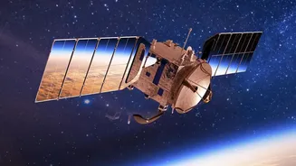
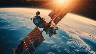
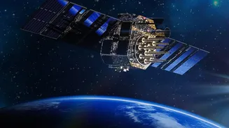
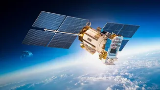
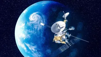
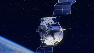
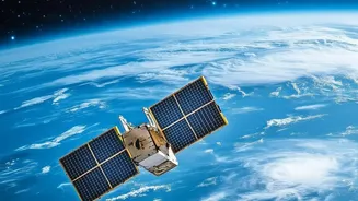
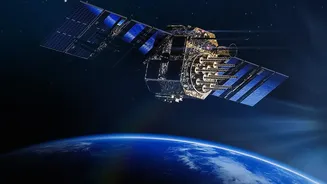
For decades, observing Earth from space was the exclusive domain of powerful government agencies. Now, a new space race is underway, this time driven by private companies. Firms are launching vast constellations of smaller, cheaper satellites into Low
Earth Orbit (LEO), blanketing the globe with sensors. This commercial wave, part of the 'NewSpace' era, has dramatically increased the volume and frequency of data collected about our planet. In 2024, privately operated Earth observation (EO) satellites already outnumbered government ones. This shift is democratising access to high-resolution imagery, with some companies even allowing users to task a satellite for a fee from their own homes. India is a key player in this expansion, with the government's 2023 Space Policy actively encouraging private participation across the entire value chain, aiming to grow its share of the global space economy from around $8.5 billion to $44 billion in the next decade.
AI: The Brains Behind the Eyes
The explosion of satellite data would be overwhelming without another crucial technology: Artificial Intelligence. AI is the engine that turns petabytes of raw imagery into actionable insights. Instead of human analysts manually scanning images, AI models can now automatically detect objects, classify land use, and spot changes at a continental scale. This technology can identify illegal construction, monitor crop health, track pollution sources like methane emissions, and assess damage after natural disasters in near real-time. Specialised sensors, like Synthetic Aperture Radar (SAR), can see through clouds and darkness, and when combined with AI, provide persistent, all-weather monitoring for everything from illegal fishing to troop movements. This combination of constant data streams and powerful analytics is moving EO from a niche scientific tool to a core component of global decision-making.
From Climate Change to Your Crops
The applications for this new firehose of data are transforming industries. In agriculture, precision farming uses satellite imagery and AI to monitor soil moisture and crop health, enabling farmers to apply resources more efficiently. For India, with its vast agricultural sector and growing need for climate resilience, these tools are invaluable for food security assessments. Urban planners can use the data to monitor sprawl and manage infrastructure. In the fight against climate change, satellites track deforestation, measure emissions, and model the impact of hazards like floods and droughts. The global satellite EO market was valued at over $10 billion in 2026 and continues to grow, fueled by these diverse use cases.
An Unregulated Frontier
This powerful technology comes with significant risks and governance gaps. The same satellites that track environmental damage can also monitor military movements, raising national security concerns due to their dual-use nature. A major issue is privacy; current laws, including in India, often don't classify satellite imagery as personal data, creating a regulatory grey area even as technology approaches the ability to identify individuals. There are also concerns about data sovereignty, with nations becoming wary about where their data is stored and processed. Furthermore, the potential for AI to be used to create fake or misrepresented satellite imagery poses a threat to the very trust the data provides. As noted by the United Nations and other bodies, current governance frameworks are struggling to keep pace with the speed of innovation, leading to calls for international standards and ethical guidelines.