

The View From Above
High above the remote, frozen landscapes of the Arctic, a fleet of advanced satellites is keeping a constant watch. Carrying sophisticated radar and laser instruments, these eyes in the sky can detect minute changes across Greenland's massive ice sheet,
an area covering over 1.7 million square kilometres. This technology allows scientists to see what is often invisible from the ground: the subtle shifts, fractures, and stresses that signal profound changes are underway. This constant monitoring provides a near real-time stream of data, transforming our understanding of how quickly our planet's polar regions are responding to a warming climate.
Understanding Glacier Tongues
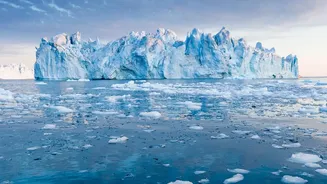
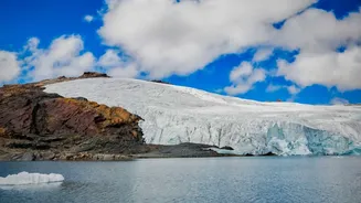
To grasp the significance of these findings, it’s important to understand what a floating glacier tongue is. Think of it as the forward extension of a glacier that, after flowing down a valley, pushes out into the ocean and floats on the water's surface. Unlike the vast, wide ice shelves of Antarctica, Greenland's glacier tongues are typically narrower, confined by the steep walls of fjords. One of the most famous is the Petermann Glacier's ice tongue in northwest Greenland. These tongues are critical because they act as a buffer, or a plug, holding back the immense volume of the main glacier on land. Their stability is key to regulating how fast ice flows from the land into the sea.
The Meaning Behind the Cracks
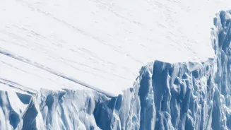
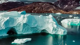
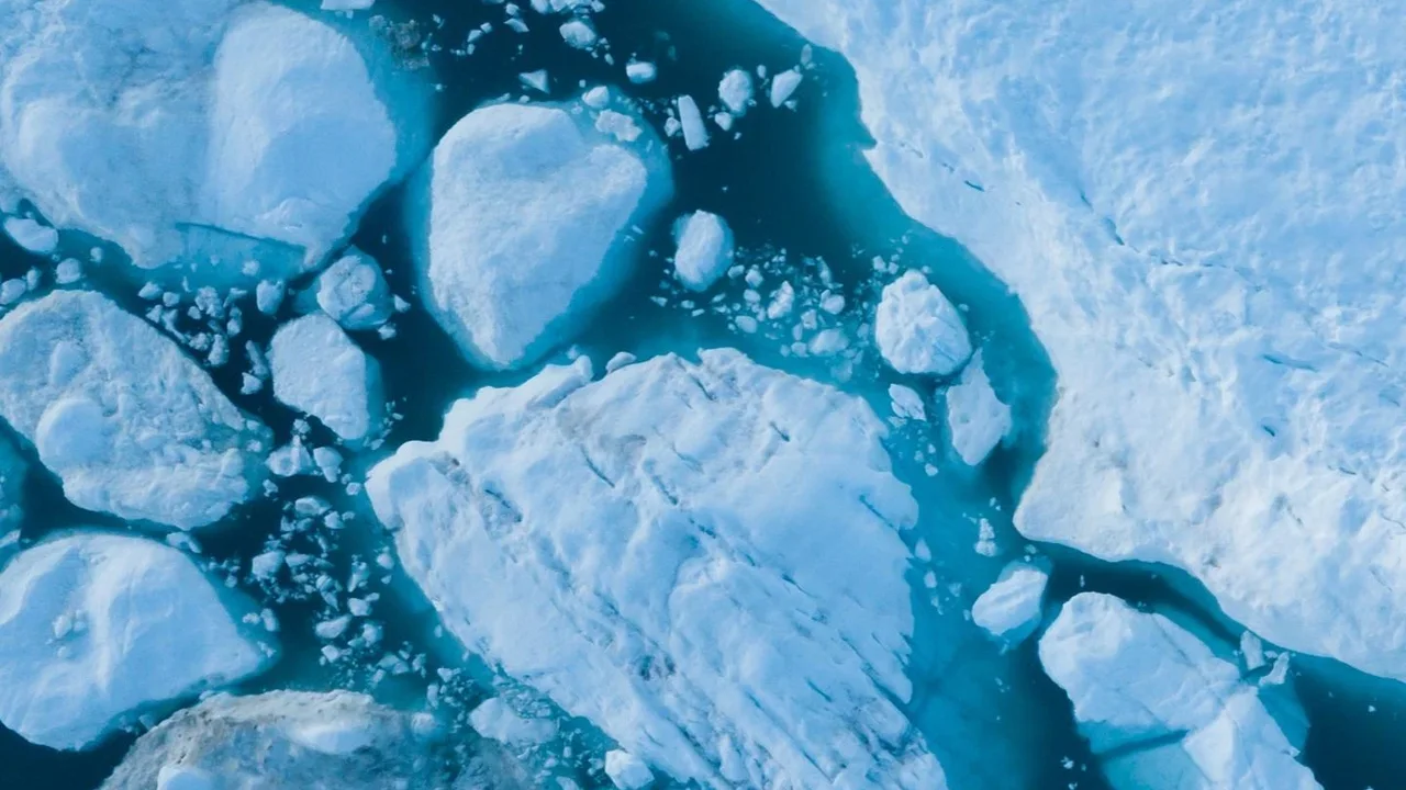
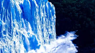
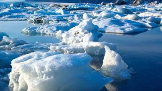
The cracks that satellites are now tracking with unprecedented detail are signs of stress and weakness. These fissures, known as crevasses, form as the ice is stretched and pulled by various forces. A major cause of this stress is the interaction between the ice and the warming ocean. As warmer ocean water circulates beneath the floating tongue, it melts the ice from below, a process called basal melting. This thinning makes the ice tongue weaker and more susceptible to cracking. These cracks can eventually grow and connect, leading to major calving events—where massive chunks of ice break off to form icebergs. A recent, dramatic example occurred in August 2026, when a piece of the Petermann Glacier the size of Manhattan broke away.
The Power of Satellite Radar
Scientists are using powerful techniques like interferometric synthetic aperture radar (InSAR) to get this detailed view. Missions like the European Space Agency's Sentinel-1 can bounce radar signals off the ice surface and measure the return signal. By comparing images taken days or even hours apart, they can detect surface movements and deformations with millimetre-level precision. This allows them to map the propagation of fractures long before a catastrophic break occurs. In the case of the recent Petermann calving event, scientists had been watching the cracks grow for years, anticipating that a major break was becoming increasingly likely.
From Greenland's Fjords to India's Coastlines
While these events are happening thousands of kilometres away, their consequences are global. The Greenland Ice Sheet is currently the single largest contributor to global sea-level rise. While the calving of an already-floating ice tongue doesn't raise sea levels on its own, the loss of this stabilizing force has a significant knock-on effect. Without the ice tongue to buttress it, the glacier behind it can accelerate its flow into the ocean, adding massive quantities of land-based ice into the water and directly contributing to rising sea levels. For a nation like India, with over 7,500 kilometres of coastline and densely populated coastal cities like Mumbai and Chennai, even small increases in global sea level can lead to more frequent and severe coastal flooding.