



The GPS Problem on the Moon
On Earth, Global Navigation Satellite Systems (GNSS), like the familiar GPS in your phone, are a part of daily life. But on the Moon, it's a different story. For starters, there is no existing lunar GPS network. While experiments like NASA's Lunar GNSS Receiver
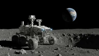
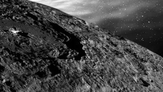
Experiment (LuGRE) have proven that weak signals from Earth's GPS satellites can be detected at the Moon, they aren't strong or reliable enough for the kind of precision work needed for the Artemis program. Apollo missions landed in wide, flat, well-lit areas on the near side of the Moon, but future missions are targeting the hazardous, permanently shadowed craters of the lunar south pole. Navigating and landing safely in these areas requires a much more robust and independent system.
Introducing LunaNet and New Payloads
NASA's answer to this challenge is LunaNet, an ambitious plan to create an internet-like communications and navigation network for the Moon. Instead of relying on constant contact with Earth, LunaNet will consist of a network of orbital and surface-based nodes that can communicate with each other, providing positioning, navigation, and timing (PNT) services to any user on or around the Moon. Recent developments have brought this vision closer to reality. For instance, NASA recently delivered a compact payload called NavCube3-mini to the commercial company Intuitive Machines. This shoebox-sized device is designed to test autonomous navigation by receiving signals from both GPS and Europe's Galileo system at lunar distances.
How a Lunar Network Functions
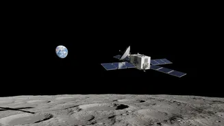
The NavCube3-mini is just one piece of a larger puzzle. It will fly aboard the Altus-1 satellite, which is intended to be the first part of a commercial lunar relay network. The idea is to build a constellation of satellites that not only relay data back to Earth but also talk to each other to create a navigation grid. Another key technology is Navigation Doppler Lidar (NDL), a laser-based system that measures velocity and altitude with extreme precision during descent. This technology was part of the Odysseus lander mission in early 2024 and, despite a software issue preventing its use in the final landing, it performed perfectly during its in-space demonstration, proving its readiness for future missions. By combining signals from Earth-based GNSS, lunar relay satellites, and onboard sensors like lidar, future spacecraft will be able to calculate their position precisely and autonomously.
Unlocking the Secrets of the South Pole
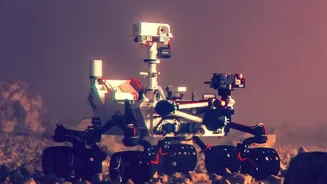
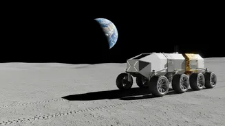
This advanced navigation capability is absolutely critical for exploring the lunar south pole. Scientists believe this region holds vast reserves of water ice trapped in permanently shadowed craters. This ice is a game-changer; it can be processed into drinking water, breathable air, and even rocket propellant, which is essential for establishing a sustainable human presence and for future missions to Mars. But these craters are dark, incredibly cold, and filled with unknown hazards. Safely landing and operating rovers in these areas requires a navigation system that can provide meter-level accuracy without relying on visual landmarks or sunlight. LunaNet and its associated payloads are the key to unlocking these valuable resources and the scientific secrets they hold.
A Foundation for a Lunar Economy
Ultimately, this technology is about much more than just helping astronauts find their way. A reliable, shared navigation network is a foundational piece of infrastructure. Just as GPS enabled countless industries and innovations on Earth, from ride-sharing to precision agriculture, LunaNet will underpin a future lunar economy. It will support not only NASA's Artemis missions but also the growing number of commercial companies and international partners planning to conduct science, mine resources, and build habitats on the Moon. It's a crucial step in transforming the Moon from a distant destination for brief visits into a bustling hub of scientific and economic activity for decades to come.