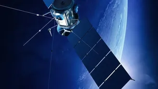





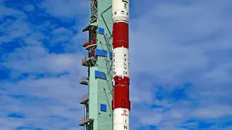

India's quest for self-reliance in space-based navigation has hit a new milestone. The NVS-03 satellite, a key part of the next-generation NavIC constellation, has successfully reached its intended orbit, confirming its health and progress.
What is NVS-03?
NVS-03 is the
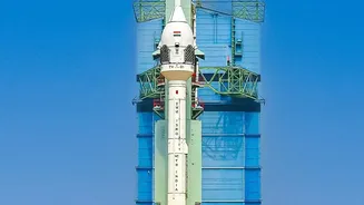
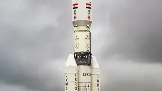
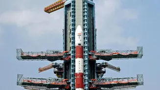
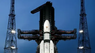
latest satellite in India’s second-generation Navigation with Indian Constellation (NavIC) series, launched by the Indian Space Research Organisation (ISRO). Think of NavIC as India's homegrown answer to the American GPS. Following its launch aboard a GSLV rocket, the satellite was placed into an initial transfer orbit. Over several days, ISRO engineers meticulously performed a series of engine burns, known as orbit-raising manoeuvres, to carefully guide the 2,250 kg satellite into its final, precise position in a geosynchronous orbit, tens of thousands of kilometres above the Earth. The successful completion of these complex manoeuvres is a crucial step, confirming that the satellite's propulsion systems are working perfectly and that it is on track for its mission.
A Major Boost for NavIC
This progress is significant for the health of the entire NavIC system. The original constellation of satellites, launched starting in 2013, faced issues with the failure of crucial imported atomic clocks, which are essential for providing precise timing data. This reduced the number of fully functional satellites below the minimum of four required to provide independent positioning services, temporarily limiting the system's capabilities. The new NVS series is designed to replenish and upgrade the constellation. NVS-03, along with its predecessor NVS-01, is equipped with a longer mission life of over 12 years and, most importantly, an indigenously developed rubidium atomic clock. This home-built technology is a massive leap forward, reducing India's dependence on foreign components and increasing the system's long-term reliability.
The Goal of Strategic Autonomy
Why is an independent navigation system so important? The drive to create NavIC began after the 1999 Kargil War, during which India reportedly faced the possibility of being denied access to foreign-operated GPS data. This highlighted the strategic vulnerability of relying on another nation's infrastructure for critical positioning, navigation, and timing (PNT) services. A fully functional NavIC provides India with strategic autonomy, ensuring that its defence forces have guaranteed access to reliable navigation for land, air, and sea operations. It also supports vital civilian functions like disaster management, where dependable communication and location services can save lives, and secure financial transactions that rely on precise timing.
What This Means for You
Beyond its strategic importance, a robust NavIC system has tangible benefits for the public. It provides two main services: a Standard Positioning Service (SPS) for all civilian users and an encrypted Restricted Service (RS) for authorised users. For civilians, this means more accurate and reliable navigation across India and a surrounding region of about 1,500 km. This can lead to better tracking for public transportation, more efficient logistics for commercial vehicles, and improved location services for personal devices. The new NVS satellites also broadcast on the L1 frequency band, a signal widely used in consumer devices like smartphones and smartwatches. This move is set to significantly improve the integration and adoption of NavIC in everyday gadgets, making 'Swadeshi GPS' a more common feature for millions of users.