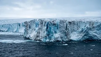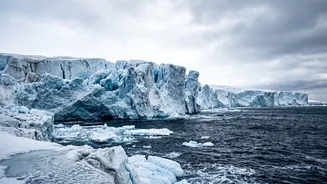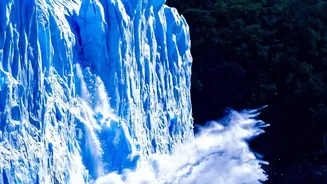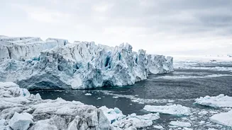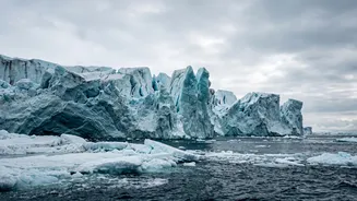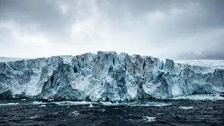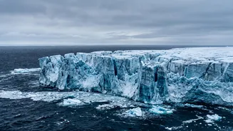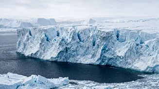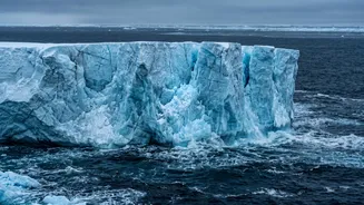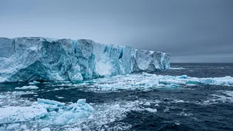




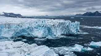
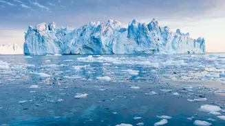
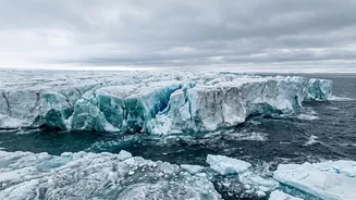
It’s nicknamed the 'Doomsday Glacier' for a reason. Antarctica’s Thwaites Glacier holds enough ice to raise global sea levels by over two feet. Now, new research reveals a worrying change in how it is melting from underneath.
The Glacier at the End of the World
Thwaites Glacier, a colossal
river of ice in West Antarctica roughly the size of Florida, is one of the most important and unstable glaciers on the planet. Its melting already accounts for about 4% of annual global sea-level rise. But its true significance lies in its role as a natural dam, or a 'cork in a bottle'. It holds back the much larger West Antarctic Ice Sheet, which contains enough ice to raise global sea levels by a catastrophic 10 feet if it were to collapse entirely. For decades, scientists have watched with concern as Thwaites has retreated at an accelerating pace, losing its grip on the seafloor and thinning dramatically. Understanding precisely how and why it's melting is one of the most urgent questions in climate science.
A New Twist in the Melting Story
For years, scientists believed the melting of Thwaites was primarily happening where the glacier lifts off the seabed and begins to float—a boundary they called the 'grounding line'. Computer models treated this as a relatively clear, fixed line. However, recent discoveries have shattered this simpler picture. Using satellite data and robotic submarines, researchers have found that the reality is far more complex and dynamic. They discovered that warm, salty ocean water is not just nibbling at the edge; it's actively being pumped miles under the glacier. This process, driven by tides, creates a vast, swampy 'grounding zone' where ice, land, and sea mix in a slushy battle that is rapidly eating away at the glacier from its very foundation.
Melting From Within
This tidal pumping mechanism allows warm, dense seawater to penetrate deep inland beneath the ice that was thought to be firmly attached to the ground. This seawater intrusion creates long channels and vast crevasses on the glacier's underbelly, dramatically increasing the surface area of ice exposed to warmer water. Some studies found that while these crevassed areas make up only a small fraction of the glacier's underside, they could be responsible for a disproportionately large amount of the ice loss. This 'vigorous melting' from within destabilizes the glacier in a way previous models failed to capture, making it weaker and more vulnerable to a faster retreat.
Double the Trouble for Sea Levels
The implications of this new understanding are stark. A new generation of computer models, developed by researchers at the University of California, Irvine, and NASA, now incorporates this process of seawater intrusion. When they ran simulations with this new data, the results were alarming: Thwaites could contribute up to 30 millimeters (1.2 inches) to global sea level rise by the end of the century. This figure is double what previous projections had estimated, even without any further increase in global warming. This accelerated melting also increases the risk that the glacier will become 'unpinned' from a critical underwater ridge that currently helps to hold it in place. Models suggest there is a 60% chance of this happening by 2100, which would likely trigger an even more rapid retreat.
Why It Matters for India
The fate of a glacier thousands of kilometres away can feel distant, but its consequences will be felt directly along India’s 7,500-kilometre coastline. A sea level rise of even a few centimetres magnifies the impact of storm surges and coastal flooding, threatening major population centres like Mumbai, Kolkata, Chennai, and Surat. It endangers critical infrastructure, freshwater resources, and the livelihoods of millions. The finding that Thwaites' melt could be twice as fast as we thought is not an abstract scientific detail; it's a direct warning that the timeline for preparing coastal communities for a wetter future may be shorter than anticipated. For every centimetre of sea level rise, an estimated six million more people globally are exposed to coastal flooding.