






The October Mission: Restoring NavIC
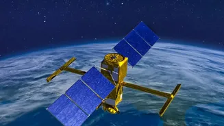
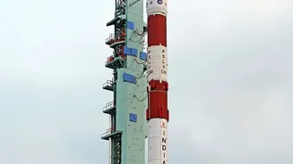
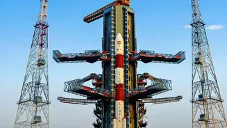
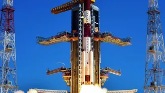
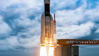
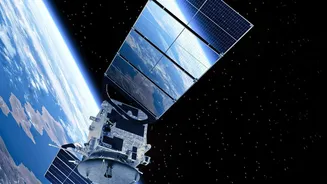
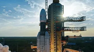
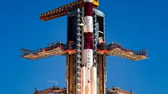
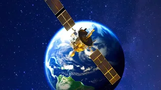
Between October 15 and 20, ISRO is targeting the launch of NVS-03, a next-generation navigation satellite, aboard a GSLV-Mk II rocket from Sriharikota. This mission is pivotal for India's indigenous navigation system, known as NavIC (Navigation with Indian
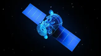
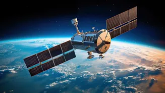
Constellation). The primary goal is to restore the constellation's full operational capability. Currently, NavIC's standalone positioning service is inactive because it has fallen below the minimum requirement of four operational satellites. With only three satellites fully functional, the system can provide timing services but cannot independently determine a user's precise location. The upcoming launch of NVS-03 is the first step in a plan to send at least four new satellites to revitalise the network.
What is NavIC, and Why Does it Matter?
NavIC is India's answer to foreign-owned global positioning systems like the USA's GPS, Russia's GLONASS, or Europe's Galileo. Developed by ISRO, it is a regional navigation system designed to provide accurate and reliable positioning and timing services across India and a region extending about 1,500 kilometres beyond its borders. The system offers two main services: a Standard Positioning Service (SPS) for all civilian users and an encrypted, more accurate Restricted Service (RS) for strategic users like the military. Having a sovereign navigation system is crucial. Relying on foreign systems creates a vulnerability; access could be denied or degraded during geopolitical conflicts, a lesson India learned during the 1999 Kargil War. NavIC ensures that India has secure, uninterrupted control over its own critical navigation infrastructure.
A Push for Next-Generation Capabilities
The NVS series of satellites, including the upcoming NVS-03, represents the second generation of NavIC spacecraft. These new satellites are not just replacements; they are upgrades designed to enhance the system's overall performance and longevity. One of the most significant improvements is the introduction of a civilian-use L1 frequency band. This is important because the L1 band is one of the most widely used for navigation by consumer devices globally, and its inclusion will make it easier for manufacturers to make their hardware, including smartphones and vehicle trackers, compatible with NavIC. The new satellites are also being built with improved, indigenous atomic clocks, which are essential for the ultra-precise timing required for accurate positioning.
The True Meaning of Positioning Independence
Positioning independence goes far beyond just having a dot on a map. For the armed forces, a fully functional NavIC is a force multiplier. It provides secure navigation for missiles, troop movements, and the coordination of warships and aircraft, without any reliance on foreign-controlled networks. For the civilian economy, the benefits are equally profound. NavIC supports a vast array of applications, from logistics and transportation to disaster management, where precise location data can be life-saving. It also underpins critical infrastructure in sectors like telecommunications, power grids, and banking, which rely on precise time synchronization. By building and controlling its own navigation system, India fosters a domestic ecosystem for high-tech manufacturing, from semiconductor chips to the final receiver devices, aligning perfectly with the 'Make in India' initiative.