







A Summer of Extremes
From Europe to Asia and North America, 2026 has been marked by scorching heatwaves, wildfires, and record-shattering temperatures. While parts of India have contended with devastating floods, others have seen a significant rainfall deficit. The India Meteorological
Department (IMD) has pointed to below-normal rainfall for the second half of the monsoon season, particularly in August and September. This isn't just a string of bad luck; it’s a clear signal of large-scale climate forces at play. The UN Secretary-General António Guterres warned that the strengthening El Niño is "adding fuel to a planet already on fire," pushing the world into "uncharted territory." These events serve as a tangible symptom of a much bigger issue unfolding across the planet.
What Is El Niño?
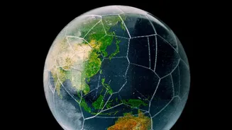
Think of the El Niño-Southern Oscillation (ENSO) as the planet's biggest climate influencer. It's a natural cycle involving the warming (El Niño) and cooling (La Niña) of surface waters in the central and eastern Pacific Ocean. Normally, trade winds push warm surface water towards Asia. During an El Niño, these winds weaken, causing the warm water to slosh back towards the Americas. This seemingly simple shift has a massive domino effect. It pumps enormous amounts of heat and moisture into the atmosphere, altering weather patterns worldwide. These events happen every two to seven years and typically last for 9-12 months, influencing everything from rainfall in India to hurricane seasons in the Atlantic.
A Supercharger on a Hot Engine
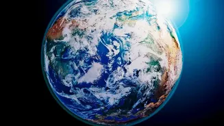
El Niño is a natural phenomenon, but the one developing in 2026 is different. It is occurring in a world that is already significantly warmer due to human-caused climate change. This creates a dangerous combination. Climate change acts as a hot engine, constantly raising the baseline global temperature. El Niño then acts as a supercharger, amplifying that heat and making its effects far more extreme. Scientists have observed that while there is no definitive proof climate change makes El Niño events more frequent, it can intensify the impacts, leading to more severe heatwaves and rainfall extremes. The World Meteorological Organization (WMO) has confirmed that the 2026 El Niño is intensifying and is expected to be a strong event, driving above-normal temperatures across the globe through the autumn.
What This Means for India
For India, the stakes are incredibly high. A strong El Niño is historically linked to weaker monsoon rains, which are the lifeblood of the country's agriculture that supports a majority of its population. The IMD has already forecast below-normal rainfall for the latter half of the monsoon, citing the strengthening El Niño as a key factor. This could lead to drought conditions, strain on water reservoirs, and significant impacts on crop yields. Paradoxically, it can also contribute to short, intense bursts of extreme rainfall, increasing the risk of localised flooding even within a drier-than-average season. Furthermore, the combination of heat and humidity amplifies health risks. Between March and July 2026, India reported thousands of heat stroke cases, prompting the government to officially classify heatwaves as a natural calamity.
The New Abnormal
This year is shaping up to be one of the hottest on record, but scientists warn that it's just a preview of what’s to come. The effects of an El Niño are often felt most strongly in the second year after it develops, meaning 2027 could be even warmer. Experts note that this isn't a one-off event but part of an accelerating trend. Recent analysis shows the rate of global warming itself has sped up in the last decade. Understanding the interplay between natural cycles like El Niño and the overarching trend of global warming is critical. It helps explain why we are seeing more frequent and intense extreme weather events and underscores the urgent need for both global climate action and local adaptation strategies to protect vulnerable communities from these growing threats.