




A Sponge in the Sky
At its core, the science is straightforward. Think of the atmosphere as a giant sponge. Just as a dry sponge soaks up water, the air soaks up water vapor from oceans, rivers, and even damp soil. The key factor is temperature. Warmer air is more energetic;
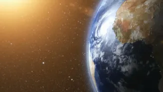
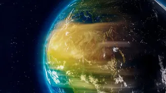
its molecules are more spread out, creating more space to hold water vapor. The scientific principle behind this, the Clausius-Clapeyron relation, states that for every 1°C of warming, the atmosphere can hold about 7% more moisture. This means as global temperatures rise, our atmospheric “sponge” becomes much thirstier, capable of absorbing and holding onto vast amounts of water for longer periods.
When It Rains, It Pours
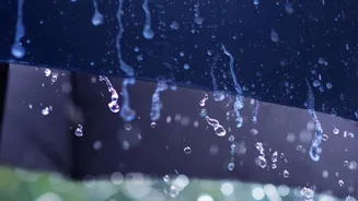
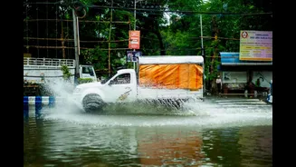
The first major consequence of this super-charged atmosphere is that when the rain finally does come, it comes down in much heavier bursts. Because the air holds so much more water before it reaches its saturation point, the resulting rainfall is far more intense than it would be in a cooler climate. Instead of a steady, gentle shower, we experience deluges that can overwhelm natural and urban drainage systems. This directly contributes to the increasing frequency of flash floods and urban waterlogging that cities across India have been witnessing. What once might have been a normal rainy day now has the potential to become a hazardous flooding event, all because the atmosphere is holding onto more moisture and releasing it all at once.
The Other Side: Longer, Drier Spells
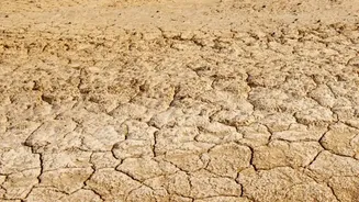
The flip side of this phenomenon is equally concerning. If the air is holding onto moisture for longer periods before it rains, it means the time between rainfall events gets stretched out. This leads to longer and more frequent dry spells, even in regions that are not traditionally arid. Farmers may find their crops withering as they wait for rains that used to be more predictable. This creates a volatile weather cycle: long periods of unnerving dryness, followed by a sudden, intense downpour that the parched ground cannot properly absorb, leading to runoff and flooding. This cycle of extremes is a hallmark of a warming climate, where the steady rhythm of the seasons becomes erratic and unpredictable.
The Unpredictable Indian Monsoon
This dynamic has profound implications for India’s most critical weather system: the monsoon. The monsoon is a complex engine driven by temperature and pressure differences between the land and the sea. As the Indian Ocean warms, it allows more moisture to be carried towards the subcontinent. Climate models now suggest that while overall monsoon rainfall may increase, it will be delivered in a much more chaotic and unreliable manner. We are already seeing this shift, with the monsoon becoming less about steady, season-long rains and more about short, intense bursts of extreme precipitation concentrated in a few days. This can lead to situations where one part of the country faces devastating floods while another simultaneously suffers from a rainfall deficit, disrupting agriculture and the lives of millions who depend on predictable seasonal rains.
A New, Volatile Reality
Ultimately, the simple fact that warmer air holds more moisture is rewriting our weather patterns. It's intensifying the entire water cycle. For India, this means we must prepare for a future defined by this volatility—a whipsaw between too little water and too much. It increases the risk of droughts, as 68% of India's cultivable area is already vulnerable. At the same time, it amplifies the threat of severe floods, which already cause billions in damages annually. This isn't a distant, abstract problem; it's a new reality impacting everything from the food on our tables to the safety of our cities. The steady patterns many generations took for granted are being replaced by a more intense and erratic climate.