





The Old System: Paying for More Than You Use
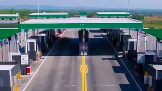
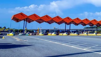
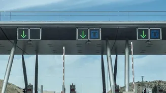
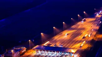
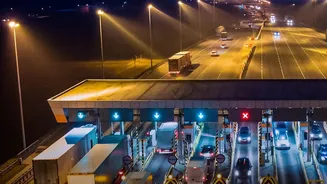
For years, highway tolls in India have largely operated on a fixed-fee basis. Toll plazas are typically positioned every 60 kilometres or so, and motorists are charged for the entire section, regardless of the actual distance they travel on it. This meant
that a driver who used the highway for just five kilometres would pay the same toll as someone who travelled 55 kilometres. This system often felt unfair, especially to local commuters and those making short trips who were forced to pay for infrastructure they barely used. The issue was particularly pronounced on highway sections that included expensive structures like long bridges, bypasses, or tunnels, which had higher construction and maintenance costs reflected in the toll price.
What's Changing: Two Key Revisions
The government is introducing two major changes to address these inequities. The first, implemented in July 2026, revises the formula for calculating tolls on sections with major structures. Previously, the tollable length of such structures was often treated as 10 times their actual length to account for the higher cost. The new rule introduces a cap; authorities must now use whichever formula results in a lower chargeable distance, which is expected to reduce toll charges on these specific routes. The second, more transformative change is the planned nationwide rollout of a satellite-based Global Navigation Satellite System (GNSS). This will replace the current FASTag system, which relies on RFID scanners at physical toll plazas, with a barrier-free, pay-as-you-use model.
How the 'Pay-as-You-Use' Model Works
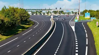
The upcoming GNSS-based system will track a vehicle's movement on the highway via satellite. Cars will need to be fitted with a GPS-enabled On-Board Unit (OBU). The system will automatically detect when a vehicle enters and exits a tolled highway, calculating the exact distance travelled. The toll amount will then be deducted directly from the user's linked bank account. This eliminates the need to stop at toll plazas altogether, creating a seamless, barrier-free experience. This technology has already been tested in pilot projects on highways like the Bengaluru-Mysuru expressway. While the transition is expected to be gradual, the eventual goal is to convert all toll lanes to the GNSS system.
The Drive for Fairness and Efficiency
The primary goal of these revisions is to make tolling more logical and equitable. Under the GNSS model, you only pay for what you use. This directly benefits short-distance travellers who will no longer subsidise long-haul journeys. Some proposals have even suggested that travel up to 20 kilometres could be free of charge for vehicles with a GNSS unit, providing significant relief for local traffic. Furthermore, the removal of physical toll booths is expected to drastically reduce congestion, save fuel, and decrease travel times. The revised calculation for bridges and tunnels also brings immediate relief to commuters on specific high-cost infrastructure routes, making the fees more proportional to the overall journey.
Implementation and What It Means for You
The rule change for calculating tolls on bridges and tunnels was implemented in July 2026, and the National Highways Authority of India (NHAI) is in the process of revising the rates. The larger shift to a full GPS-based tolling system has been in discussion for a few years, with various timelines proposed. While FASTag remains mandatory for now, drivers should prepare for the transition to GNSS. New vehicles may come with factory-fitted OBUs, while older cars will require a retrofit installation. This shift represents a major step towards modernising India’s infrastructure, aiming for a system where toll collection is not just automated, but also transparent and fundamentally fairer for every user of the national highways.