



An Eye in the Sky Gets an Upgrade
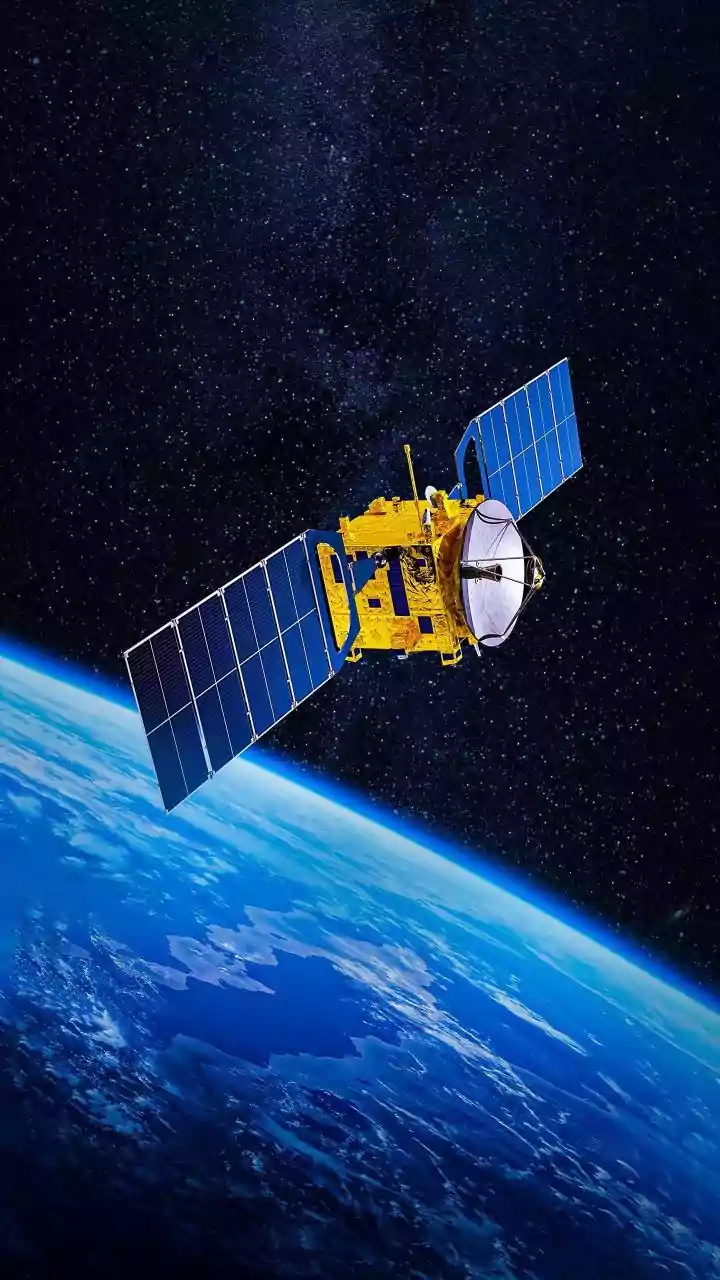
In early July 2026, three advanced satellites were launched into orbit, not for telecommunications or mapping, but with a singular, urgent mission: to spot wildfires before they rage out of control. This trio is the first operational batch of a project
known as FireSat, an ambitious initiative led by the non-profit Earth Fire Alliance. The project is a major collaboration, with technical expertise from Google Research and satellite manufacturing by Muon Space. Launched from California aboard a SpaceX rocket, these satellites represent a significant step up from a prototype tested in 2025, moving from a promising concept to a real-world tool for emergency responders. The goal is to create a global shield against wildfires, with a planned constellation of more than 50 satellites providing constant vigilance.
The Technology Behind the Precision
So, what makes these satellites different from the ones we already have? The answer lies in a combination of specialised hardware and powerful software. Existing satellite systems often have to compromise between coverage area and image detail, meaning they might only update a few times a day and struggle to see fires smaller than a football pitch. FireSat is purpose-built. Its satellites are equipped with highly sensitive thermal infrared sensors that can detect the heat signature of a fire as small as a few metres across. This allows them to spot not just raging infernos but also the smaller, cooler, smouldering fires that are often the precursors to major disasters. This enhanced resolution means authorities can get a warning much earlier in a fire's life cycle.
Adding AI for Speed and Accuracy
Detecting a heat signature is only half the battle. To avoid a flood of false alarms from other heat sources, FireSat employs sophisticated artificial intelligence developed with Google's help. The AI system analyses the infrared images and cross-references them with historical data and current weather conditions to confirm if a heat spot is genuinely a new wildfire. Once the full constellation is in orbit, the system will be able to scan the entire Earth and provide updates every 20 minutes. This near-real-time monitoring capability is a game-changer, replacing the hours or even days it can sometimes take to confirm a fire in a remote area with a refresh rate counted in minutes.
Implications for India's Fire Season
For India, where thousands of forest fires occur annually, particularly in states like Uttarakhand, Himachal Pradesh, and Odisha, this technology could be transformative. Many of these fires start in remote, difficult-to-access Himalayan foothills or dense forests. Ground-based detection through watchtowers and patrols, while essential, has limitations. A system like FireSat offers the ability to spot a fledgling fire in a remote valley long before it becomes visible to a guard or is reported by a village. Early detection allows for faster mobilisation of firefighting resources, potentially containing a blaze when it is still small and manageable. This can save invaluable forest cover, protect wildlife, and prevent the fire from threatening nearby communities and infrastructure.
What Happens Next?
FireSat isn't designed to make older methods obsolete. Instead, experts see it as a powerful new layer in an integrated 'sensor web' that includes ground cameras, drones, and aircraft. After an initial three-month testing phase, these first three satellites are expected to begin providing operational data to fire agencies in the US, Australia, and Europe before the end of 2026. As the constellation grows, its coverage will become truly global. The data will not only help in active firefighting but also provide scientists with unprecedented insight into how fires behave, helping to improve risk modelling and prevention strategies for the future. The ultimate vision is a system that doesn't just watch for fires but helps us get ahead of them.