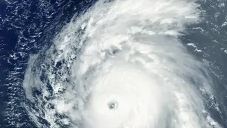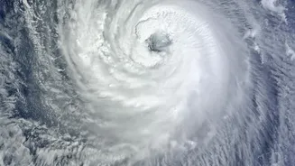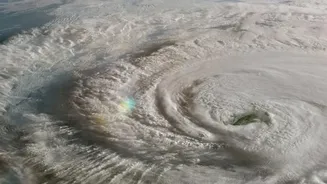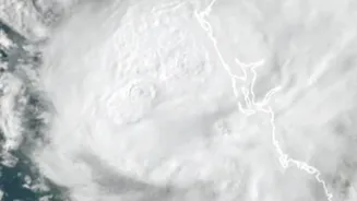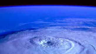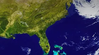






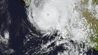


What is the Latest on Cyclone Akvan?
According to the latest updates from the India Meteorological Department (IMD) on November 18, Severe Cyclonic Storm Akvan is currently located over the west-central Bay of Bengal. It is moving in a north-northwesterly direction and is expected to make
landfall around noon on November 20. The IMD has forecast that the storm will cross the coast between Narsapur in Andhra Pradesh and Puri in Odisha as a 'severe cyclonic storm' with sustained wind speeds of 90-100 kmph, gusting up to 110 kmph. This represents a slight downgrade from earlier predictions of a 'very severe cyclonic storm', but the threat remains significant.
Why Do Cyclone Tracks Change?
Cyclone forecasting is a complex science, and predicting a storm's exact path is challenging. These massive weather systems are steered by large-scale environmental winds at various levels of the atmosphere. Think of it like a spinning top moving across a table that is being tilted in different directions. Factors like high-pressure ridges and low-pressure troughs can alter a cyclone's course, sometimes causing it to change direction unexpectedly. Forecasters at the IMD use sophisticated computer models, satellite data, and weather radars to predict the track. However, small atmospheric changes can lead to different outcomes, which is why forecasts are constantly updated and a 'cone of uncertainty' is used to show the probable path of the storm's center.
Understanding IMD's Colour-Coded Warnings
To communicate the level of risk to the public, the IMD uses a four-colour-coded warning system. Understanding these is crucial for your safety. A 'Yellow' warning means 'Be Aware' and that you should stay updated. An 'Orange' alert means 'Be Prepared', indicating a high likelihood of damaging weather, and authorities begin to mobilise for evacuations. The IMD has currently issued an Orange alert for the coasts of Andhra Pradesh and adjoining South Odisha for Cyclone Akvan. A 'Red' alert means 'Take Action' and is the highest level of warning, issued when severe weather is imminent, and immediate evacuation may be necessary.
Who Needs to Be Most Prepared?
Residents in the coastal districts of North Andhra Pradesh and South Odisha are at the highest risk. The IMD has warned of heavy to very heavy rainfall in these regions on November 19 and 20, with some isolated areas potentially facing extremely heavy downpours. The districts specifically mentioned as likely to be affected by strong winds and intense rain include Ganjam, Gajapati, Khordha, and Puri in Odisha. Coastal Andhra Pradesh is also expected to receive significant rainfall. The main dangers associated with cyclones are not just the wind but also storm surge—an abnormal rise in sea level—and widespread flooding from heavy rains.
Your Cyclone Preparedness Checklist
The National Disaster Management Authority (NDMA) advises all residents in at-risk areas to take specific precautions. First, assemble an emergency kit containing essentials like non-perishable food, drinking water, a first-aid kit, torches, batteries, and any necessary medications. Secure your home by boarding up windows and clearing your yard of any loose objects that could become projectiles in high winds. Keep important documents like identity cards and property papers in a waterproof bag. Charge your mobile phones and power banks. Most importantly, follow official instructions from local authorities. If you are asked to evacuate, do so immediately and move to a designated cyclone shelter.
Where to Find Reliable Information
During a developing weather event, misinformation can spread quickly. It is vital to rely only on official sources for updates. The primary source for cyclone information in India is the India Meteorological Department (IMD) through its website 'mausam.imd.gov.in'. The National Disaster Management Authority (NDMA) also provides crucial safety guidelines and alerts. Many state disaster management agencies will provide local updates. Avoid relying on unverified social media posts or messaging app forwards for information about the storm's path or intensity. Trust the official bulletins that are released every few hours.