





What Happened in Nepal?
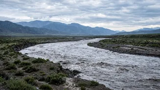
On the morning of August 26, a massive flash flood struck Nepal's Himalayan border region with Tibet. Preliminary investigations suggest a large piece of a glacier broke off, causing an ice-rock avalanche that temporarily dammed the Bhote Koshi River.
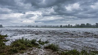
This blockage led to a sudden, violent release of water, mud, and debris. The torrent of water caused river levels to rise dramatically and rapidly; at one point, the Trishuli River rose by nine meters in just 30 minutes. The disaster wreaked havoc across several Nepalese districts, including Rasuwa, Nuwakot, and Dhading, sweeping away villages, bridges, and hydropower plants, leading to a significant loss of life. Rescue operations have been underway, but the full extent of the damage is still being assessed.
Why This Puts Indian States at Risk
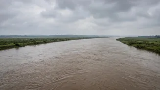
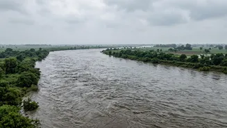
The geography of the region means that major rivers flow directly from the high Himalayas in Nepal into the densely populated plains of India. The floodwaters that originated in the Bhote Koshi and Trishuli river systems in Nepal flow downstream and become the Gandak River upon entering India. The Gandak, also known as the Narayani in Nepal, is a major tributary of the Ganga and courses through large parts of Uttar Pradesh and Bihar. This direct hydrological connection means that any major surge in water volume in Nepal poses an immediate and direct flood risk to Indian communities located along these riverbanks. Because these rivers carry Himalayan waters, they do not recognize political boundaries, making cross-border alertness essential.
Which Areas Are on High Alert?
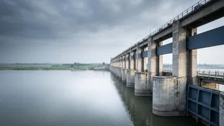
Indian authorities have issued flood alerts for several districts in Bihar and Uttar Pradesh. In Bihar, the districts identified as being at the greatest potential risk include West Champaran, East Champaran, Gopalganj, Saran, and Muzaffarpur. In Uttar Pradesh, the districts of Maharajganj and Kushinagar, which border Nepal, have been placed on high alert. Authorities have been closely watching the Gandak Barrage at Valmikinagar in Bihar’s West Champaran district, the first major water control structure on the Indian side. As a precautionary measure, all 36 gates of the barrage were opened to manage the anticipated increase in water flow.
India's Preparedness and Response
In response to the threat, India has mobilized its disaster management apparatus. The National Disaster Response Force (NDRF) has deployed a total of 20 teams across the two states—nine in Bihar and eleven in Uttar Pradesh—to prepare for any eventuality. These teams are equipped for evacuation, rescue, and relief operations. While the NDRF reported on August 27 that there had been no adverse impact so far, the situation is being continuously monitored in coordination with state governments and the Central Water Commission (CWC). The CWC is providing regular updates on river levels to help manage the response. In addition to domestic preparedness, India has also extended humanitarian aid to Nepal, sending aircraft with relief materials and medicines.
An Ongoing Cross-Border Challenge
This event highlights the recurring challenge of managing transboundary rivers and the cascading risks of climate-related disasters in the Himalayas. Glaciers in the region are melting at an accelerating rate, increasing the frequency of events like glacial lake outburst floods (GLOFs) and avalanches. A fresh warning was issued on August 27 concerning a new lake formed by debris from the initial disaster, which poses a risk of breaching and causing another flood wave. Experts emphasize the need for robust, real-time, basin-wide impact forecasting and coordinated risk management between India and Nepal, moving beyond simple flood warnings to predict specific impacts on villages and infrastructure. The disaster serves as a stark reminder that events in the high Himalayas can have rapid and severe consequences for downstream communities across international borders.