


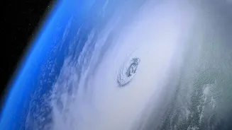
First, What Is El Niño?
El Niño, which is Spanish for "the little boy," is the warm phase of a natural climate pattern called the El Niño-Southern Oscillation (ENSO). Under normal conditions, trade winds blow from east to west across the tropical Pacific, pushing warm surface
water towards Asia and Australia. This allows cooler water from the deep ocean to rise up along the coast of South America. During an El Niño, these trade winds weaken or even reverse. As a result, the huge pool of warm surface water sloshes back eastward, spreading across the central and eastern Pacific. This change in ocean temperature is the first domino to fall in a chain reaction that disrupts weather worldwide.
The Ocean: A Giant Heat Battery
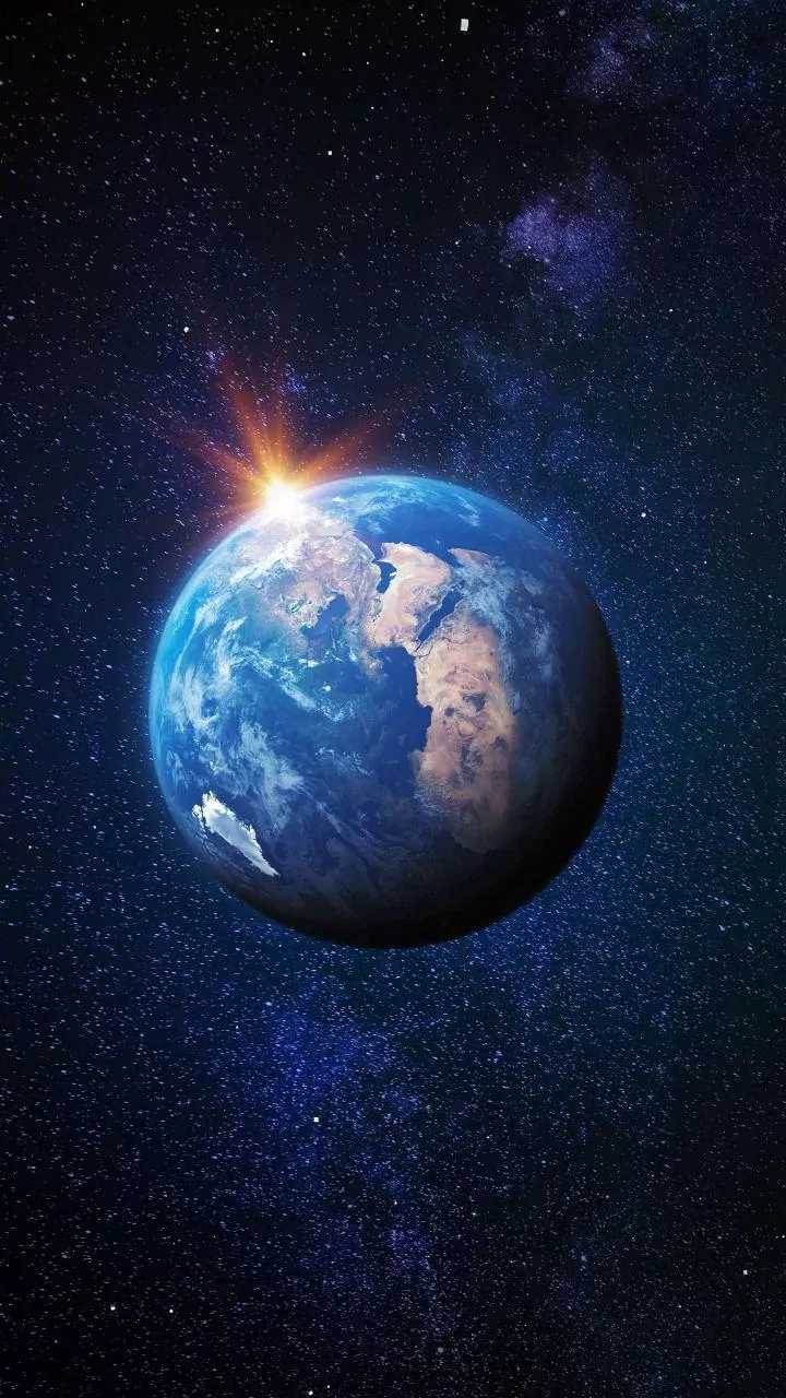
To understand the delay, it's crucial to appreciate the sheer scale of the ocean. The Pacific Ocean is the largest single feature on our planet, and water can absorb and store immense amounts of heat without its own temperature rising dramatically. Think of it like a massive thermal battery. While an El Niño event is defined by a significant rise in sea surface temperatures across a vast area, that's just the start. The ocean has absorbed a colossal amount of solar energy, and it doesn't release it into the atmosphere all at once. It's a slow, powerful process.
The Great Heat Transfer
The transfer of this stored heat from the ocean to the atmosphere is the engine of El Niño's global impact. As the vast expanse of warm water sits at the surface, it heats the air directly above it. This warm, moist air rises, a process known as convection. As it ascends into the upper atmosphere, the water vapour condenses to form clouds and rain, releasing even more heat—a phenomenon called latent heat. This process, repeated over a massive section of the world's largest ocean, acts like a giant radiator, pumping enormous amounts of heat and moisture into the global atmospheric circulation system. This fundamentally alters major air currents, like the jet stream, which steer weather systems around the globe.
Explaining the Crucial Time Lag
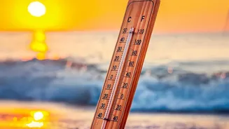
So why isn't the impact instantaneous? Because the Earth's atmosphere is vast, and it takes time for this heat injection to measurably raise the average global temperature. An El Niño typically reaches its peak ocean warming in the Northern Hemisphere's winter, often between November and January. However, the full effect on global air temperatures often isn't felt until the following year. It's like turning on a huge heater in a cavernous warehouse; the area near the heater gets warm first, but it takes a while for the ambient temperature of the entire space to rise. The ocean is that heater, and the atmosphere is the warehouse. This lag, often several months long, is a critical and predictable feature of the El Niño cycle.
The Impact on India
For India, this delayed-action climate pattern has profound consequences. El Niño is strongly linked to a disruption of the Indian monsoon. The same atmospheric changes that warm the Pacific can lead to weaker monsoon winds and reduced rainfall over the subcontinent. This often results in drier conditions and, in severe cases, drought. The impact is felt across the board, from agriculture, which depends heavily on monsoon rains, to the management of water resources in our reservoirs and rivers. Understanding the lag is therefore not just an academic exercise; it's vital for forecasting agricultural output, managing water supplies, and preparing for potential economic shocks months in advance.